What is recorded here
Situated on a N-facing slope with a small SSW-NNE stream just to the W. A rectangular house-site (int. dims 7m N-S; 2.8m E-W) at the centre of rath (LE017-004001-) is defined by a grass-covered stone spread (Wth 1m; H 0.3m) with a doorway (Wth 1m) at E.
Compiled by: Michael Moore
Date of upload; 23 September, 2016
The monument record does not grant public access. Check the route and ask the landowner before entering private land.
- What survives
- Recorded monument
Places near here
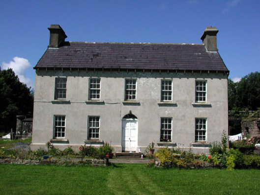 Glasdrumman Housefarm house · 1425 yd
 Sweat Ho.Sweathouse · 1.2 mi
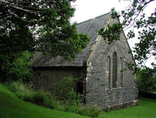 Creevelea Presbyterian Churchchurch/chapel · 1.2 mi
 Tober BuayHoly well · 1.3 mi
 Carrane HillCliff · 3.9 mi
 Drummans IslandIslet · 4.2 mi
 Seltannasaggart SE SlopeMountain / peak · 4.4 mi
 European ashEuropean ash · 4.7 mi
 Black PoplarBlack Poplar · 4.7 mi
 Scardan WaterfallWaterfall · 4.7 mi
 Corry IslandIslet · 5.0 mi
 Old HallCastle, hall-house · 5.4 mi