What is recorded here
In pasture, just off the top of a low rise and c. 40m WSW of a rath (SL031-013001-). Not marked on the 1838 edition of the OS 6-inch map but the 1914 edition of the OS 6-inch map shows a hollow in the area of the site. Remains comprise the eroded remains of a linear earthen bank (L 12.4m NW-SE; Wth 2m; ext. H 0.6m; int. H 1.1m) with traces of internal stone-facing consisting of up to five courses of drystone walling. A further short section of an earthen bank (L 1.5m NE-SW) was noted 5.5m SW of the SE end of the main bank. This is possibly the remains of a house. A concrete cattle-shed has been built in the area between both sections of bank.
Compiled by: Archaeological Survey Unit, UCC with revisions by Patrick F. O'Donovan and Paul Walsh
Date of upload: 20 June 2011
The monument record does not grant public access. Check the route and ask the landowner before entering private land.
- What survives
- Recorded monument
Places near here
 Enclosure in Leitrim NorthEnclosure · 200 yd
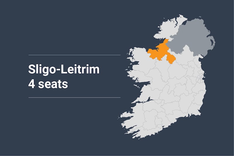 IndicatedFairy fort / earthen ringfort · 481 yd
 FriaryReligious house, Franciscan Third Order Regular · 1691 yd
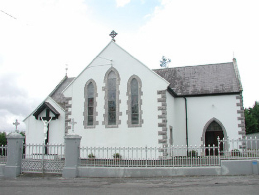 Catholic Church of the Sacred Heartchurch/chapel · 2.4 mi
 Muckelty HillMountain / peak · 2.4 mi
 KnocknasheeMountain / peak · 3.0 mi
 Tawnyart WoodWood · 3.4 mi
 Ballyara Castle (in Ruins)Castle, unclassified · 3.4 mi
 New WoodWood · 3.7 mi
 CastleCastle, unclassified · 3.8 mi
 The Turf Stack RockNamed rock · 3.8 mi
 Mass RockNamed rock · 4.6 mi