What is recorded here
Located in the SW quadrant of a rath (MA070-148001-).
This consists of a roughly rectangular area (6m E−W; 3m N−S) bordered on the S, W and N sides by a low stony rise/possible wall (Wth c. 1m; H c. 0.3m); it is open on the E side. Immediately to N, there is a roughly trapezoidal depression (c. 5m N−S; 5m E−W at S, c. 3m at N; D 0.5m). To W of that, there is poorly defined rectangular feature (6m E−W; 3m N−S).
Compiled by: Jane O'Shaughnessy
Date of upload: 30 January 2018
The monument record does not grant public access. Check the route and ask the landowner before entering private land.
- What survives
- Recorded monument
Places near here
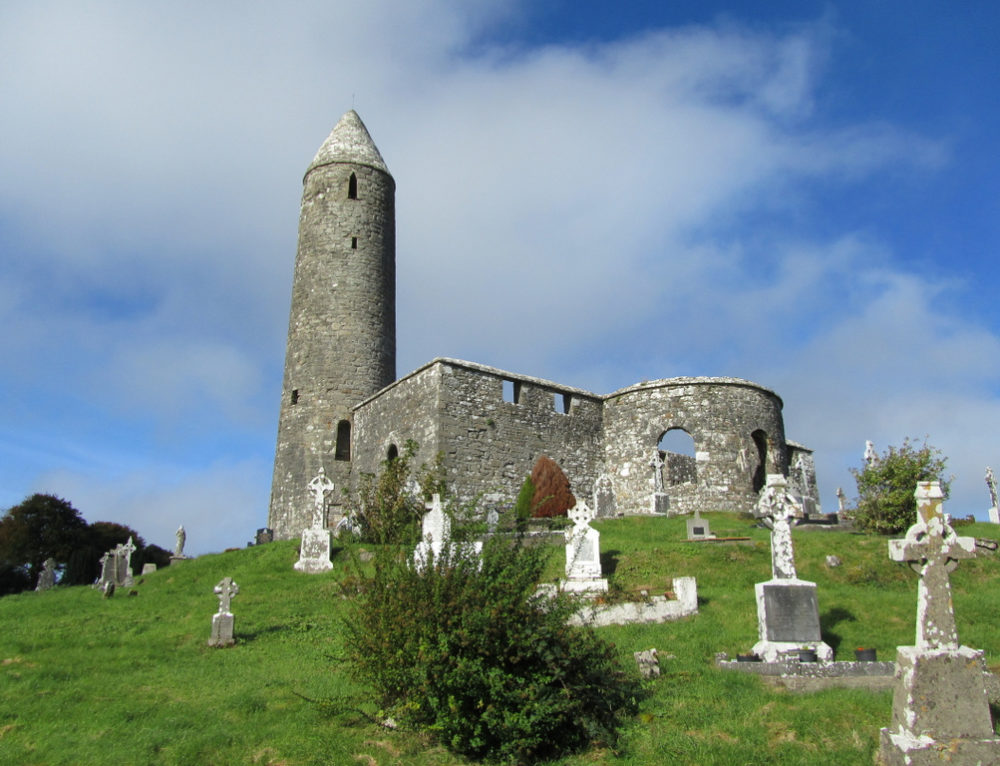 IndicatedFairy fort / earthen ringfort · 11 yd
 Oak WoodWood · 543 yd
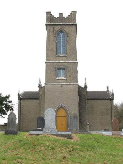 Turlough Churchchurch/chapel · 570 yd
 bridgebridge · 654 yd
 Holy WellHoly well · 707 yd
 National Museum of Ireland, Country LifeMuseum · 837 yd
 CastleCastle, unclassified · 900 yd
 Sunken GardenWood · 1016 yd
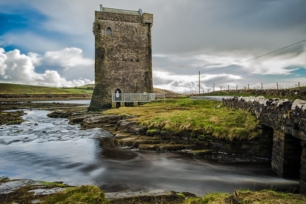 Moyhenna Castle in ruinsCastle, unclassified · 1.3 mi
 Michael DavittMemorial · 3.6 mi
 Battle of CastlebarMajor battlefield · 4.5 mi
 Saint John Baptist de La SalleMemorial · 4.7 mi