What is recorded here
In dense undergrowth. This ruined square house site (c. 7m N-S; c. 7m E-W) is defined along the W, N and E sides by low grassed-over foundation lines. No trace of the S wall survives.
Compiled by: Olive Alcock
Date of upload: 21 September 2017
The monument record does not grant public access. Check the route and ask the landowner before entering private land.
- What survives
- Recorded monument
Places near here
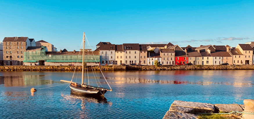 IndicatedFairy fort / ringfort · 647 yd
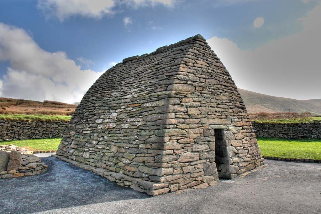 Enclosure in TulliraEnclosure · 715 yd
 Rahaly Castle (in ruins)Castle, tower house · 1206 yd
 Church (in ruins)Church · 1444 yd
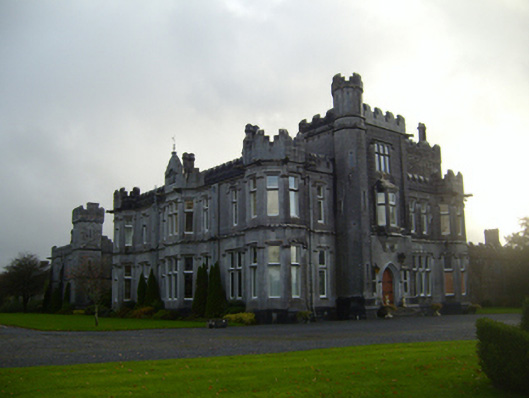 Tullira Castlecountry house · 1520 yd
 HawthornHawthorn · 1.5 mi
 European ashEuropean ash · 1.5 mi
 Ballylee CastleCastle, tower house · 1.7 mi
 Drumharsna CastleHeritage attraction · 3.1 mi
 Kilmacduagh Monastic SiteVisitor information · 7.2 mi
 Mulroney's IslandIslet · 7.4 mi
 IllananireyIslet · 8.2 mi