What is recorded here
On a hill in an area of rock outcrop and scrubland recently cleared for grazing. Off-centre within a ringfort (KK009-005----) in the SE quadrant there is a sub-rectangular house site (diam. 7m N-S; 9m E-W) defined by a bank (Wth at crest 0.7m; overall Wth 2.1m; int. H 0.09m; ext. H 0.25-0.4m). There is a hawthorn tree growing on the N side of the house site.
Compiled by: Jean Farrelly
Date of upload: 14 May 2018
The monument record does not grant public access. Check the route and ask the landowner before entering private land.
- What survives
- Recorded monument
Places near here
 Enclosure in GorteennamuckEnclosure · 87 yd
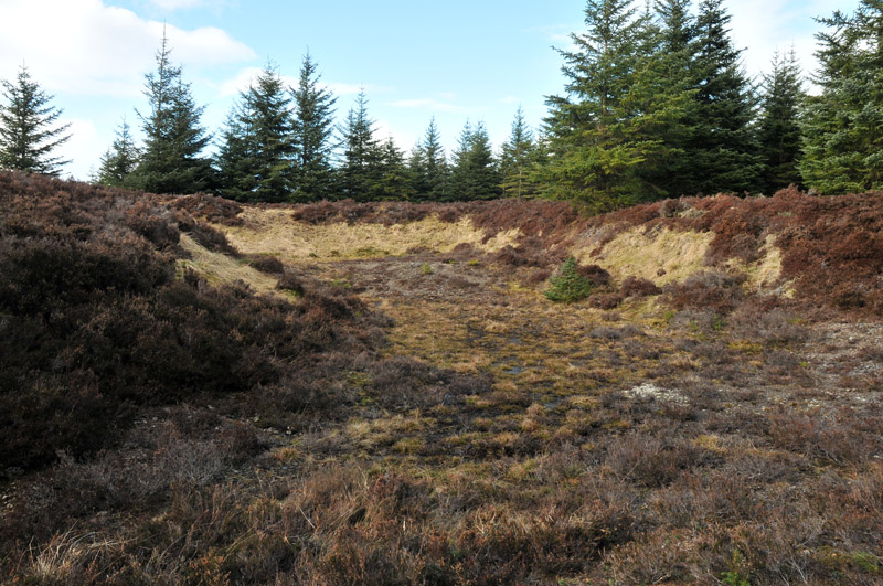 Gravel PitEnclosure, large enclosure · 842 yd
 Mill (in ruins)Water mill, unclassified · 1088 yd
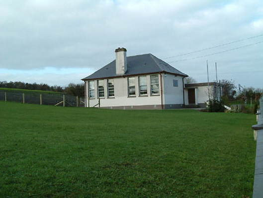 Creenkill National Schoolschool · 1579 yd
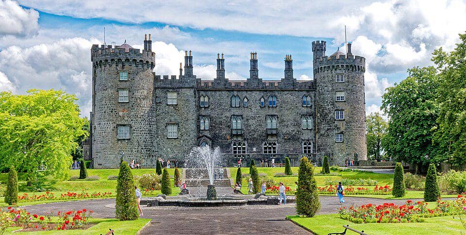 CastleCastle, unclassified · 1.0 mi
 Street fieldArchaeological place · 1.3 mi
 Glashare CastleCastle, tower house · 1.4 mi
 Clomantagh HillMountain / peak · 2.8 mi
 DelaneyMemorial · 3.5 mi
 John HelyMemorial · 3.5 mi
 The CopseWood · 5.0 mi
 Anker's IslandIsland · 6.0 mi