What is recorded here
On a SW-facing slope. About 20m NW of the church is a modern NE-SW field bank, and a field system (RO056-004005-) covering about 3 acres (c. 1.2ha) survives to its NW. A house site (ext. dims 5.3m E-W; 4.3m N-S) is built on one of the field banks.
Compiled by: Michael Moore
Date of upload: 24 August 2010
The monument record does not grant public access. Check the route and ask the landowner before entering private land.
- What survives
- Recorded monument
Places near here
 Church (in Ruins)Religious house, Augustinian, of Arrouaise nuns · 73 yd
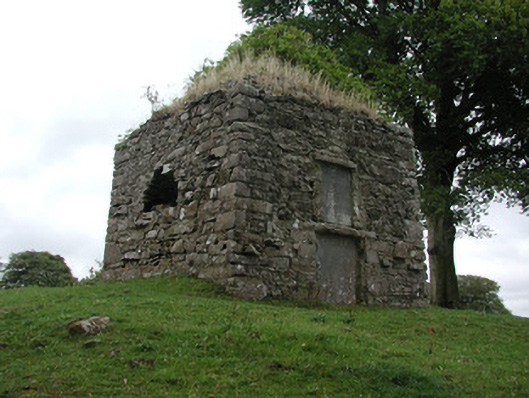 St. George Mausoleummausoleum · 168 yd
 Tonvee CastleCastle, unclassified · 1.0 mi
 Tully CastleArchaeological place · 1.2 mi
 Embanked enclosureFairy fort / earthen ringfort · 1.4 mi
 Split HillMountain / peak · 1.4 mi
 Kilbegly WellHoly well · 1.7 mi
 Sugarloaf HillMountain / peak · 2.9 mi
 Long IslandIsland · 3.1 mi
 Devenish IslandIsland · 3.3 mi
 Shannonbridge - Nearby AttractionsVisitor information · 3.4 mi
 HawthornHawthorn · 4.7 mi