What is recorded here
Described by Quinn and Carroll (2010) as ‘Rectangular stone-built structure orientated NE/SW. Located in pasture on a SW facing slope. Enclosed by a stone wall. Ruinous house comprising rectangular structure with an annex at the E side. Small garden/ plot is located to the rear (N). A courtyard/yard is located to the S of the house and is defined by a stone wall at the E, W and S. A small rectangular hut is built into the SW corner of the S wall of the yard and a sub-rectangular hut is built into the SE corner of the same wall. The house itself is ruinous and is constructed of roughly coursed random rubble. Walls survive to varying heights (max. 7 courses & 1.1m) and appear to be built on bedrock in places. The walls measure on average 0.65m in width. The house measures 5m in length (E/W) by 2.7m in width (N/S) internally.'
Quinn, A and Carroll, M (2010) ‘Archaeological, Architectural and Cultural Heritage Assessment for a Proposed Wind Farm at Doonens Co. Cork’, Unpublished report, Tobar Archaeological Services.
Compiled by: Denis Power
Date of upload: 22 August 2013
The monument record does not grant public access. Check the route and ask the landowner before entering private land.
- What survives
- Recorded monument
Places near here
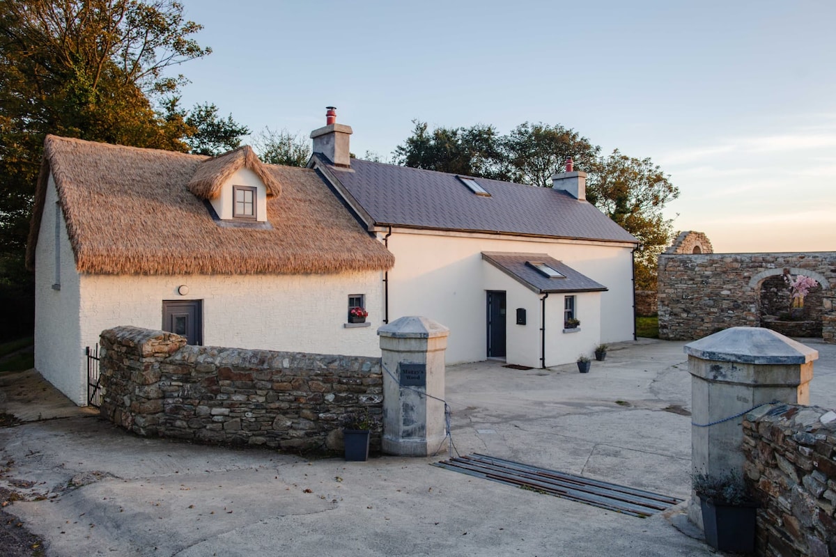 Hut site in Dooneens (muskerry West By., Inchigeelagh Par.)Hut site · 292 yd
 Field boundary in Dooneens (muskerry West By., Inchigeelagh Par.)Field boundary · 341 yd
 Doughill MountainMountain / peak · 1344 yd
 Douce MountainMountain / peak · 1.2 mi
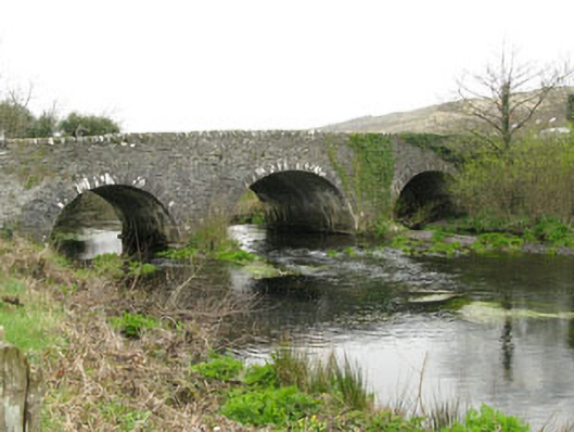 Inchinossig Bridgebridge · 2.4 mi
 Stepping StonesClapper bridge · 2.5 mi
 Gougane BarraValley and heritage place · 2.5 mi
 European ashEuropean ash · 2.7 mi
 Gortnahoughtee Mass RockNamed rock · 4.7 mi
 St Finbarr's Pilgrim RouteWalking route · 4.8 mi
 Togher CastleCastle, tower house · 5.8 mi
 Carriganass CastleCastle · 6.3 mi
Other information
Photo: Credit not shown in the picture search · Rights wording not checked; contact us if this picture should be removed