What is recorded here
In the N sector of the interior of a rath (GA106-060----). This collapsed rectangular structure (L 9.4m; Wth 4.5m) is probably the remains of a house site. A low circular grassed-covered stony mound (diam. 4m) to its W may be associated.
Compiled by: Galway Archaeological Survey, UCG
Date of upload: 27 July 2017
The monument record does not grant public access. Check the route and ask the landowner before entering private land.
- What survives
- Recorded monument
Places near here
 Dartfield Horse MuseumHeritage attraction · 1060 yd
 Old ChapelChurch · 1151 yd
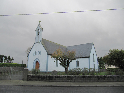 Catholic Church of Our Lady of Lourdeschurch/chapel · 1167 yd
 Drought Castle (in Ruins)Castle, tower house · 1514 yd
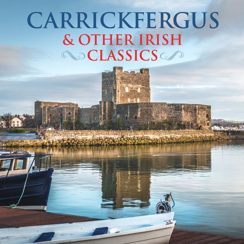 TobermacduaghHoly well · 1.0 mi
 Field system in BallynahistilField system · 1.2 mi
 Kilcooly Castle (in ruins)Castle, tower house · 1.7 mi
 Turoe StoneHeritage attraction · 4.6 mi
 Bush IslandIslet · 4.8 mi
 Middle IslandIslet · 4.8 mi
 Long PointHeadland · 4.9 mi
 Quarryhill WoodWood · 7.1 mi