What is recorded here
Conry church ruins (WM025-005001-) stands inside an Early Christian ecclesiastical enclosure on a natural rise of ground surrounded by poorly drained land known as the 'Island of Conry'. On the 1656-9 Down Survey map of Churchtown parish this townland was known as 'Conry & Cloghoule' (NLI, MS 723-4), the latter was anglicised to the present Croughal which lies in the parish of Churchtown. In 1641 the lands of Conry and Cloghoule belonged to Henry Dalton who is listed in the Down Survey as an 'Irish papist' (ibid.). To the SE of Conry church ruins there area the grass-covered remains of a possible square-shaped house site visible as a low rise of ground with a sunken interior (SMR file).
See attached plan of site showing square-shaped house site, surveyed and drawn by the ASI
Compiled and revised by: Caimin O'Brien
Date of revised upload: 05 March 2019
The monument record does not grant public access. Check the route and ask the landowner before entering private land.
- What survives
- Recorded monument
Places near here
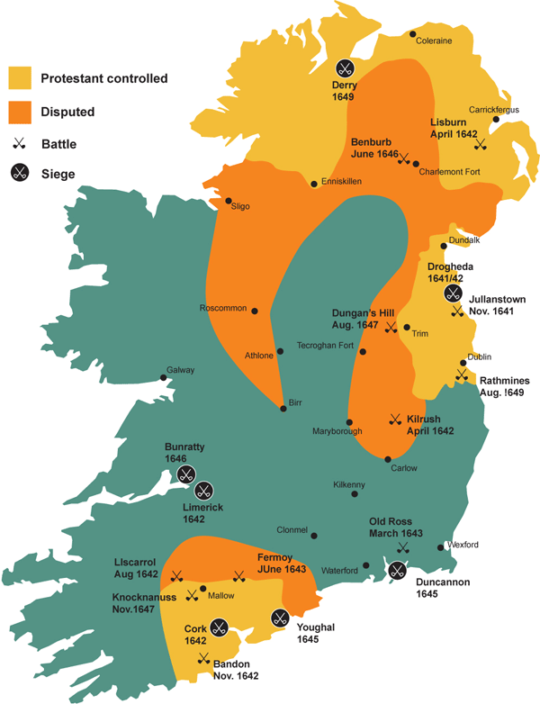 Partially indicatedEcclesiastical enclosure · 45 yd
 Boleyvillish CastleCastle · 631 yd
 Site of CastleCastle, unclassified · 1131 yd
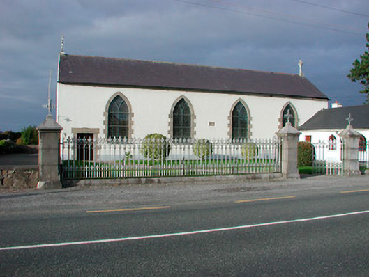 Catholic Church of the Assumptionchurch/chapel · 1303 yd
 Font (present location) in TogherstownFont (present location) · 1305 yd
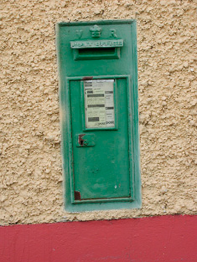 post boxpost box · 1363 yd
 Hill of UisneachMountain / peak · 1.2 mi
 Ancient Ring FortWood · 2.0 mi
 European ashEuropean ash · 2.1 mi
 KnockastiaMountain / peak · 5.5 mi
 Abbeyshrule AbbeyRuins · 7.6 mi
 Guest ServicesVisitor information · 8.2 mi