What is recorded here
In pasture, located immediately to W of a rath (MA022-002----). Rectangular platform (10m NNE-SSW; 9.4m WNW-ESE) defined by a scarp (Wth 0.95m; ext. H 0.75m, at NNE), and enclosed by a fosse (Wth 1.7m; ext. D 0.5m). Remnants of an outer bank/counterscarp survive as a low rise at N (Wth 1.3m; ext. H 0.2m) and E (Wth c. 2m; ext. H 0.1m). The interior slopes down slightly to E. There is a low area (Wth c. 2.5m) in the enclosing scarp towards the N end of the E side, and a similar low area in the scarp at W; either or both may mark an entrance.
Another possible house (MA022-002001-) is located in the rath interior.
Compiled by: Jane O’Shaughnessy
Date of upload: 8 March 2019
The monument record does not grant public access. Check the route and ask the landowner before entering private land.
- What survives
- Recorded monument
Places near here
 IndicatedEnclosure · 235 yd
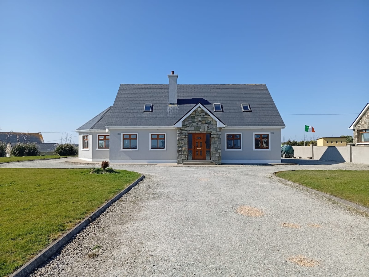 RathlowaghFairy fort / earthen ringfort · 259 yd
 Castlereaghwalled garden · 1322 yd
 Castle (in Ruins)Castle, tower house · 1717 yd
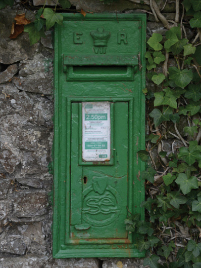 post boxpost box · 1749 yd
 Battle of Killalabattle · 1.4 mi
 Bawn in FarraghBawn · 1.4 mi
 Green IslandIslet · 1.8 mi
 Rinnaun PointHeadland · 2.2 mi
 Battlefields of MoyneBattlefield · 2.7 mi
 Moyne AbbeyHeritage attraction · 3.3 mi
 Bartragh IslandIsland · 3.6 mi