What is recorded here
This monument is not shown on the 1838 OS 6-inch map, but is shown on the 1929 edition as a small circular hachured feature. When visited by the Ballinrobe Archaeological Survey in 1989 it was classed as a mound and recorded as follows: ‘In undulating pasture, atop rise. Raised (H 1m) circular area (8.6m N-S; 7.6m E-W) of earth and stone. Trees grow in interior.’ (Lavelle (1994, 51, no. 331). It is listed in the RMP (1997) as a mound.
When inspection in 2018, grass cover had been eroded by farm stock exposing a low, double-faced straight wall (average width 1.1m) on the S-side. The wall suggests that this monument may be the remains of a house. There is a cashel (MA118-064----) 55m to E.
Compiled by: Jane O’Shaughnessy
Date of revised upload: 24 May 2018
The monument record does not grant public access. Check the route and ask the landowner before entering private land.
- What survives
- Recorded monument
Places near here
 Enclosure in Carrowmore (kilmaine By., Ballinrobe Par.)Enclosure · 580 yd
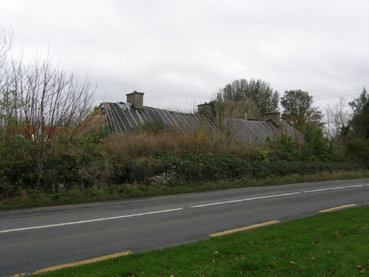 Killoshinefarm house · 788 yd
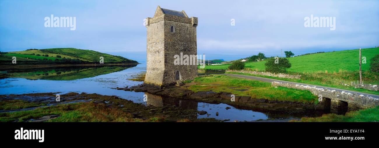 IndicatedFairy fort / earthen ringfort · 970 yd
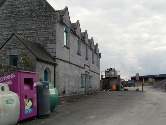 Ballinrobe Union Workhouseworkhouse · 1219 yd
 European ashEuropean ash · 1592 yd
 CastleCastle, unclassified · 1.1 mi
 Castle in ruinsCastle, tower house · 1.1 mi
 LabbadermotCave · 1.7 mi
 Long IslandIslet · 3.3 mi
 Shrub IslandIslet · 3.5 mi
 SycamoreSycamore · 3.6 mi
 Black RocksNamed rock · 4.7 mi