What is recorded here
In the interior of a rath (MA014-083----). A largely grassed-over, irregular-shaped low mound (max. dim. 5.8m; max. H 0.3m) of small and medium sized stones is located adjacent to the enclosing bank in the NW quadrant of the rath. This may represent the remains of a house.
Compiled by: Jane O'Shaughnessy
Date of upload: 4 February 2015
The monument record does not grant public access. Check the route and ask the landowner before entering private land.
- What survives
- Recorded monument
Places near here
 RatheenroeArchaeological place · 836 yd
 RaheenroeFairy fort / earthen ringfort · 846 yd
 Church in RuinsChurch · 1172 yd
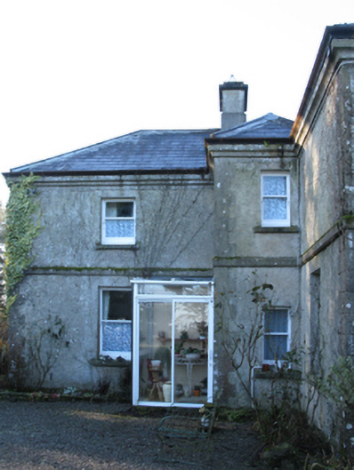 Carn Housefarm house · 1.1 mi
 Bawn in CarrickanassBawn · 1.3 mi
 Castle (in Ruins)Castle, tower house · 1.4 mi
 Lisheen Grave YardArchaeological place · 2.4 mi
 Battle of Killalabattle · 3.4 mi
 Green IslandIslet · 3.8 mi
 Rinnaun PointHeadland · 4.0 mi
 TrabaunBeach / strand · 4.4 mi
 Battlefields of MoyneBattlefield · 4.8 mi