What is recorded here
Situated on a low rise in grassland. Local information contained in an ASI field report from 1972 recorded that ‘old foundations’ and a quern or mill stone were unearthed while bulldozing in this field. No trace of an archaeological monument visible at ground level. The crop mark of a large sub-rectangular shaped enclosure is visible on the Digital Globe aerial photograph taken November 2011.
Compiled by: Frank Coyne and Caimin O'Brien
Date of upload: 24 August 2017
The monument record does not grant public access. Check the route and ask the landowner before entering private land.
- What survives
- Recorded monument
Places near here
 Enclosure in Ballysallagh (tuite)Enclosure · 295 yd
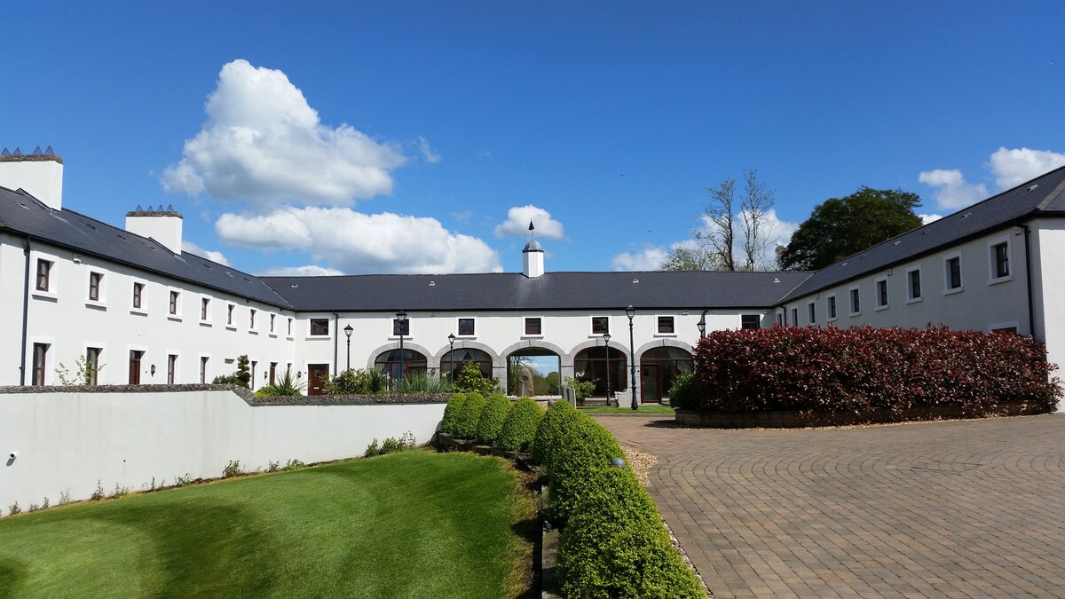 Cromeens WellHoly well · 504 yd
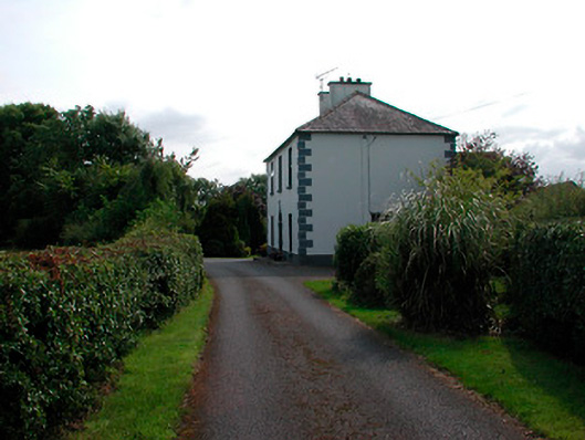 Ballysallagh Househouse · 1105 yd
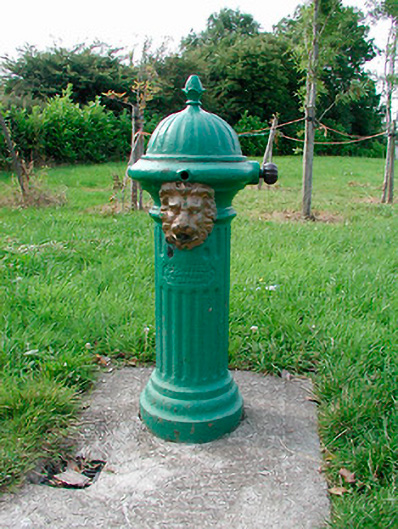 water pumpwater pump · 1137 yd
 Site of Castle, Castle FieldCastle, unclassified · 1.1 mi
 Baronstown ForestWood · 1.3 mi
 CastleCastle, unclassified · 1.3 mi
 Horse-chestnutHorse-chestnut · 1.4 mi
 Craft WorkshopHeritage attraction · 8.1 mi
 Guest ServicesVisitor information · 8.1 mi
 Newcastle WoodsForest · 8.7 mi
 Hachured, ShankillFairy fort / ringfort · 558 yd
Other information
Photo: Credit not shown in the picture search · Rights wording not checked; contact us if this picture should be removed