
What is recorded here
According to the Civil Survey (1654-6) in 1640 on the townland of 'Ballindrenan, Corcoyle, & Kearue…stands one thatch house and two cottages' (Simington 1934, vol.2, 299). The proprietors are given as 'Daniell Hurly of Gortanowrane Daniell Hurly of Tomonyne Irish Papists' (ibid.).
The above description is derived from 'The Archaeological Inventory of County Tipperary. Vol. 1 - North Tipperary' compiled by Jean Farrelly and Caimin O'Brien (Dublin: Stationery Office, 2002). In certain instances the entries have been revised and updated in the light of recent research.
Date of upload/revision: 22 September 2008
The monument record does not grant public access. Check the route and ask the landowner before entering private land.
- What survives
- Recorded monument
Places near here
 Annaghbeg Housecountry house · 559 yd
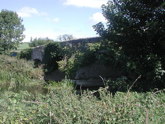 Annaghbeg Bridgebridge · 812 yd
 Enclosure in AnnaghbegEnclosure · 905 yd
 DromineerSettlement deserted, medieval · 1419 yd
 Dromineer CastleCastle · 1476 yd
 Goose IslandIslet · 1629 yd
 Dromineer BayBay · 1.4 mi
 Site of Castle SheelaCastle, tower house · 1.4 mi
 Connaught BayBay · 1.6 mi
 Knigh HillMountain / peak · 1.8 mi
 Blessed WellNature reserve · 2.6 mi
 Buggane IslandIslet · 2.8 mi
Other information
Photo: Credit not shown in the picture search · Rights wording not checked; contact us if this picture should be removed