
What is recorded here
The fortified house in Howth stands as a T-shaped three-storey building from the late fifteenth or sixteenth century, its rough volcanic blocks and limestone quoins marking it as a place of strength rather than mere shelter. It fronts Abbey Street south of St Mary's Church, with a small east-wall projection that likely held garderobes, and its elliptical arches and chamfered jambs suggest craftsmanship shaped by function. The interior was later lowered, hiding the original floor nearly two metres above modern ground, while excavations revealed a central rubble wall and deposits containing thirteenth- and fourteenth-century pottery. Whatever life moved through those rooms, the building still keeps its shape: long, blunt, defensive, and quietly stubborn against time.
Known as the College of Howth, this is a T-shaped three- storey building of probable late 15th-sixteenth-century date. It fronts onto Abbey Street and is located south of St Mary's Church (DU015-029001-). It's longer axis runs east-west (int. dims. max. L 16m, max Wth 7m) and there is a small projection in the centre of the east wall which according to Leask (1960, III, 28-30) contained the garderobes. Built of roughly coursed blocks of Howth stone, volcanic type rocks and limestone with dressed limestone used in quoins, windows and doors.
Formerly the E end of the building was divided into two compartments each containing fireplaces in gable walls. An entrance passage divided the west end of building into two compartments. Access was through elliptical arched doorway with chamfered jambs that have been hammer dressed. Ground floor was lit by an elliptical arched window with plain hood moulding. The eastern projection is lit by slit opes. The first floor contains round arched windows formed of chamfered limestone jambs.
A number of archaeological investigations were undertaken prior to its conversion to a domestic house. A survey revealed that the inside had been lowered in modern times, the original ground floor was 1.7m higher than the present floor. It also identified a mortared foundation within the footprint of the building which was suggestive of an earlier structure or a cellar (Simpson, L. 2006, 161). Hand excavation (Licence no. 03E1804) of four pits (averaging 1m sq.), at the corners of the building and the southern footing of a proposed stairwell (3m east-west by 1.1m), were excavated through archaeological deposits to determine the natural subsoil. The medieval horizon containing 13th/14th-century pottery was identified 0.06-0.43m below the lowered ground level. The foundation of a rubble-built internal wall (0.5m high) was identified almost centrally to the structure (Baker 2003). The new house was 'hung' within the original and an iron roof added.
Compiled by: Geraldine Stout
Updated by: Christine Baker
Date of upload: 26 January 2015
Built by the de Burgo family in the late 15th to 16th century, the fortified house in Howth is important as a rare surviving example of a medieval defensive residence in an urban setting.
The monument record does not grant public access. Check the route and ask the landowner before entering private land.
- What survives
- Recorded monument
Places near here
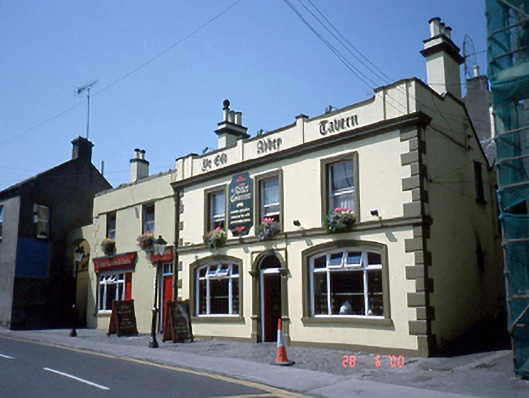 The Abbey Tavernhouse · 20 yd
 IndicatedGraveyard · 39 yd
 Saint Mary's Abbeygraveyard/cemetery · 42 yd
 Ye Olde Hurdy-Gurdy (Museum of Vintage Radio)Heritage attraction · 151 yd
 Martello TowerMartello tower · 160 yd
 The Old CourthouseHeritage attraction · 374 yd
 Howth Tourism Information KioskVisitor information · 428 yd
 George IV's footstepsMemorial · 679 yd
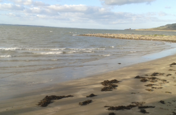 Claremont BeachBeach / strand · 751 yd
 Howth Black Linn LoopWalking route · 1018 yd
 Cliffs of HowthViewpoint · 1053 yd
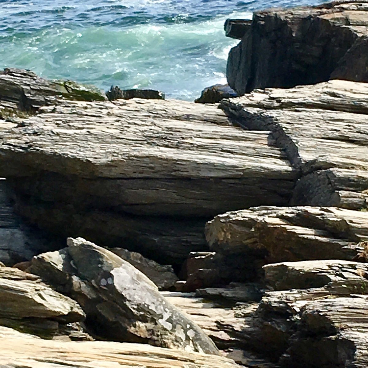 Cannon RockNamed rock · 1108 yd
Other information
Photo: Credit not shown in the picture search · Rights wording not checked; contact us if this picture should be removed