What is recorded here
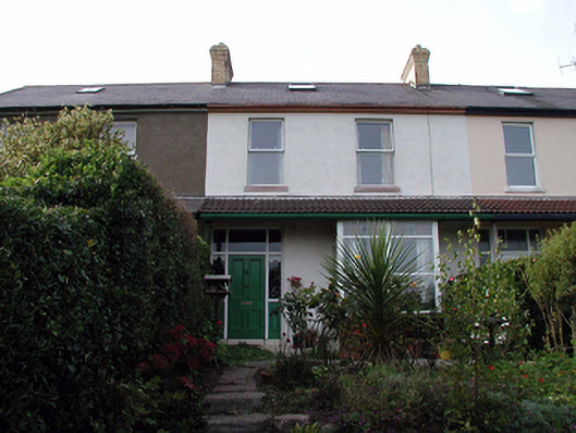
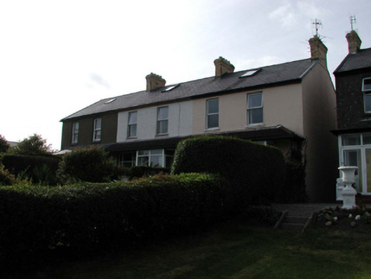
Terraced two-bay two-storey house with dormer attic, c.1910, with single-bay single-storey box bay window to right ground floor having shared canopy over extending over entire ground floor, and single-bay two-storey lower return to north-west. Renovated, c.1985, with dormer attic added. Refenestrated, pre-1999. One of a terrace of three forming part of a group of six. Pitched (shared) slate roof (hipped to return) with clay ridge tiles, yellow brick Running bond (shared) chimney stacks, replacement square rooflight, c.1985, and cast-iron rainwater goods on timber eaves. Lean-to roof to canopy with replacement profiled clay tile, c.1985, and cast-iron rainwater goods. Painted rendered, ruled and lined walls. Square-headed window openings with stone sills. Replacement uPVC casement windows, pre-1999. Square-headed door opening under canopy with timber panelled door, sidelights on timber panels, and overlight. Set back from line of road in own grounds with front (south-east) elevation fronting away from road having landscaped grounds to front, and rear (north-west) elevation fronting on to road having roughcast boundary wall to perimeter of site.
An appealing modest-scale house, built as one of a terrace of three units (with 22816034, 189/WD-26-16-34, 189) forming part of a larger group of six houses (with 22816035, 190 – 1/WD-26-16-35, 190 – 1). The house is distinguished by features including a box bay window and canopy, which augment the architectural quality of the design. However, the inappropriate replacement fittings to the window openings have not enhanced the visual appeal of the composition. The house, together with the remainder in the group, produces a distinctive effect in the townscape, the rear (north-west) elevations and returns fronting on to Priest’s Road, and the front (south-east) elevations overlooking Tramore Bay.
This does not grant access. Most recorded buildings are privately owned; view them only from public ground unless the owner allows entry.
Places near here
 Cuas Cromhouse · 7 yd
 The Presbyterypresbytery/parochial/curate's house · 61 yd
 Tramore Tourist OfficeVisitor information · 461 yd
 Tourist InformationVisitor information · 568 yd
 Cannon GunBattlefield · 629 yd
 Doneraile WalkWalking route · 694 yd
 Burnt spread in MonloumBurnt spread · 1055 yd
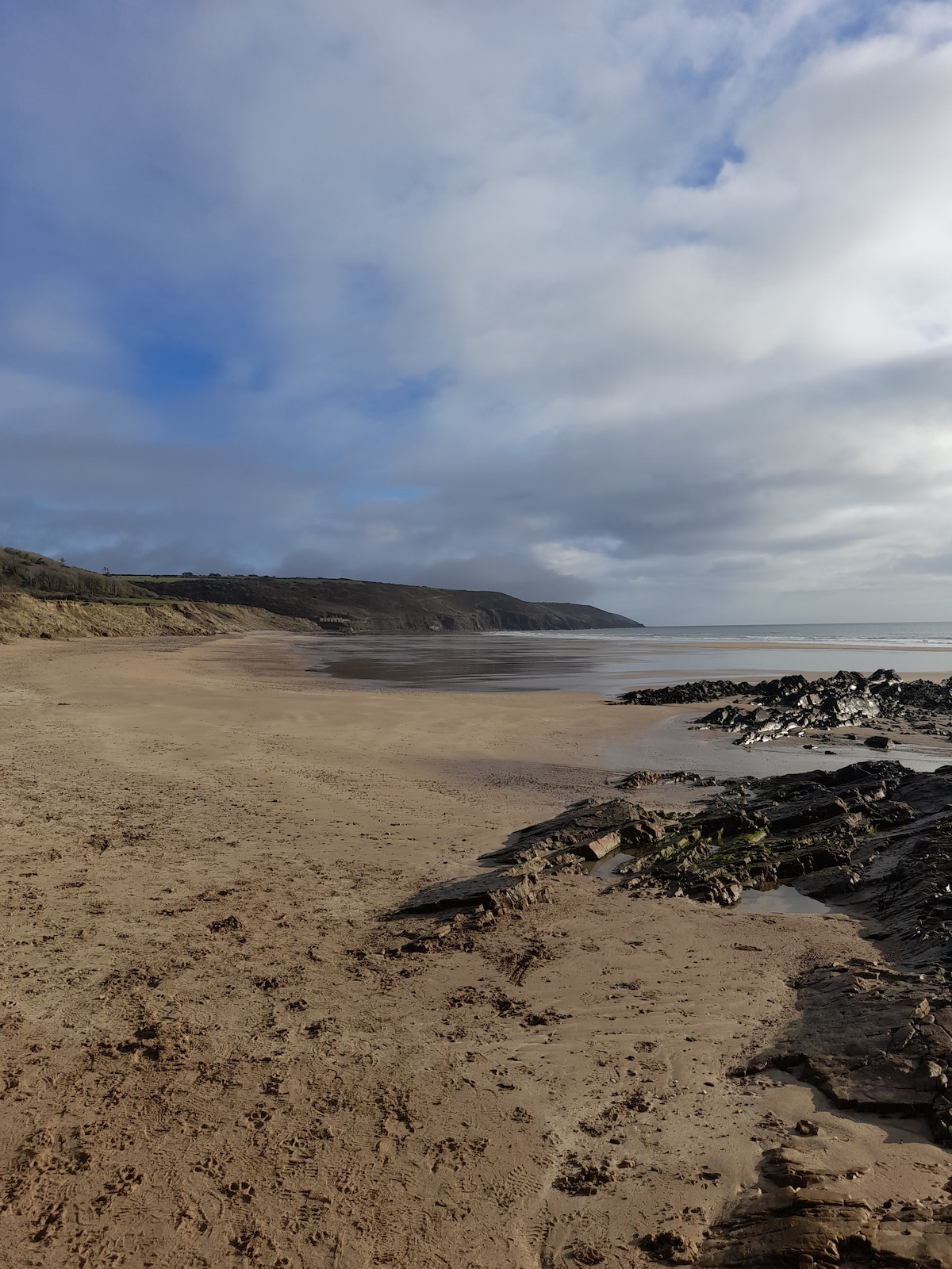 Enclosure in Crobally Upper (middlethird By.)Enclosure · 1200 yd
 Tramore Dunes WalkWalking route · 1741 yd
 Newtown WoodsWood · 1.4 mi
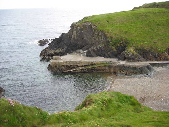 Newtown CoveBeach / strand · 1.4 mi
Other information
Photo: National Inventory of Architectural Heritage · Website use allowed for educational or private purposes with source credit