What is recorded here
A house is marked on an estate map of 1777 in NLI (ms. 19, 672 (66). It is not identified.
Compiled by: Michael Moore
Date of upload: 24 August 2010
The monument record does not grant public access. Check the route and ask the landowner before entering private land.
- What survives
- Recorded monument
Places near here
 Longford HillMountain / peak · 330 yd
 Enclosure in Rockingham Demesne (boyle By., Rockingham.ed)Enclosure · 434 yd
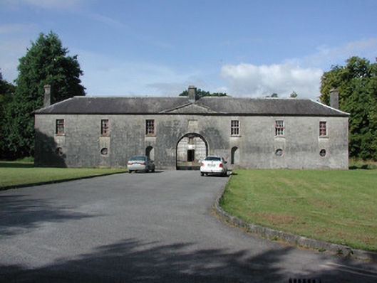 Rockingham Housestables · 443 yd
 Horse-chestnutHorse-chestnut · 664 yd
 Western RedcedarWestern Redcedar · 898 yd
 Castle IslandIslet · 1017 yd
 Embanked enclosureFairy fort / stone ringfort · 1108 yd
 Rockingham DemesneRuins · 1125 yd
 Lough Key Forest ParkWood · 1157 yd
 Green IslandIslet · 1273 yd
 Erris BayBay · 1.3 mi
 Boyle AbbeyHeritage attraction · 2.8 mi