What is recorded here
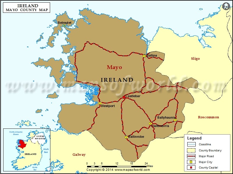
Situated on a prominent rise within an extensive area of peatland. There is a stream c. 100m to SW. Not listed in the SMR (1991) or the RMP (1997). Not indicted on the 1838 and 1921 OS 6-inch maps. This rectangular house (13.7m NNE-SSW; 6.2m WNW-ESE) is outlined by wall footings (Wth 1.1m) of drystone masonry, incorporating large and medium sized stones. The entrance (Wth 1.3m) is at the NNE end of the ESE wall. The house is divided internally by a WNW–ESE dividing wall into two rooms of unequal size. It appears to be of relatively modern date. There is an enclosure (MA025-002----) c. 8m to W.
Compiled by: Jane O'Shaughnessy
Date of upload: 14 July 2015
The monument record does not grant public access. Check the route and ask the landowner before entering private land.
- What survives
- Recorded monument
Places near here
 IndicatedEnclosure · 19 yd
 Church (in Ruins)Church · 1.2 mi
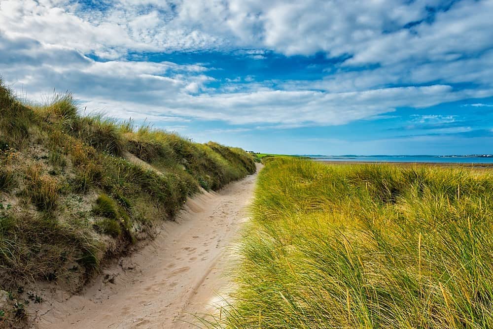
 Trá na SraitheBeach / strand · 2.1 mi
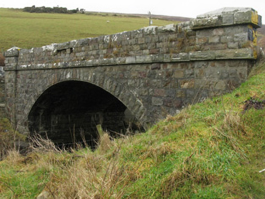 Glencastle Bridgebridge · 2.2 mi
 Domhaill's GraveArchaeological place · 2.3 mi
 Dun DomhnaillArchaeological place · 2.3 mi
 Oileán ChloigeannIslet · 3.3 mi
 Cuan an Fhóid DuibhBay · 3.7 mi
 Gob an ChloiginnHeadland · 3.7 mi
 Inis DoireIslet · 4.5 mi
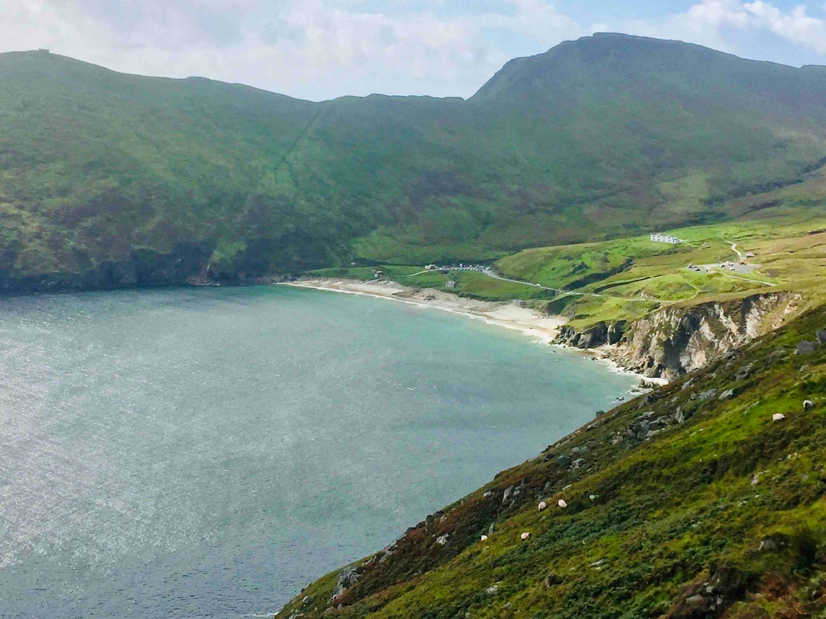 Trá na nAscaillBeach / strand · 4.6 mi
 Barranagh Castle in RuinsCastle, unclassified · 6.5 mi