
What is recorded here
On a small headland jutting into a tidal bay. A rectangular building, on an E-W axis, annotated 'Church in ruins' is shown on the 1838 OS 6-inch map, with another building on a NE-SW axis immediately to the W. Neither building is shown on the 1921 edition, where the location is marked 'Church (Site of)'. There is no visible trace of the church.
Compiled by: Jane O'Shaughnessy
Date of upload: 17 November 2017
This remains an important historical record, but the official description says the monument is no longer visible or has been destroyed. The monument record does not grant public access. Check the route and ask the landowner before entering private land.
- What survives
- No visible remains or recorded as destroyed
Places near here
 Trá na SraitheBeach / strand · 1708 yd
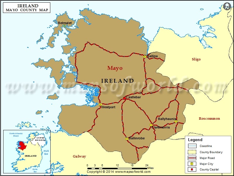 IndicatedEnclosure · 1.2 mi
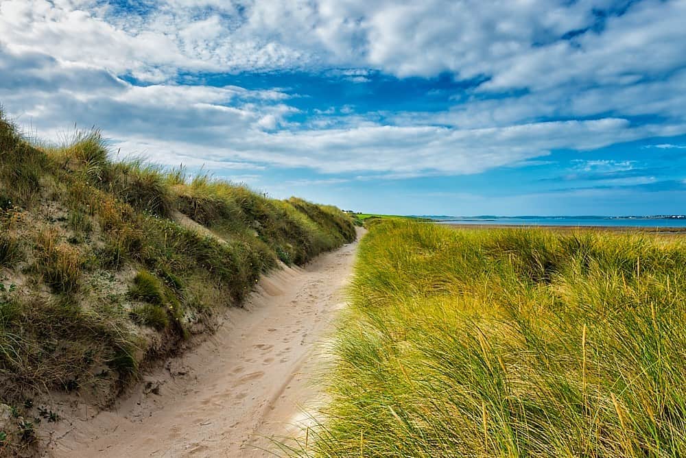 Oileán ChloigeannIslet · 2.3 mi
 Cuan an Fhóid DuibhBay · 2.6 mi
 Gob an ChloiginnHeadland · 2.7 mi
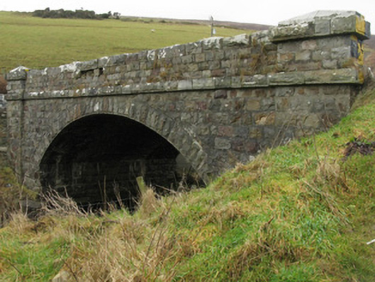 Glencastle Bridgebridge · 2.9 mi
 Domhaill's GraveArchaeological place · 3.1 mi
 Dun DomhnaillArchaeological place · 3.1 mi
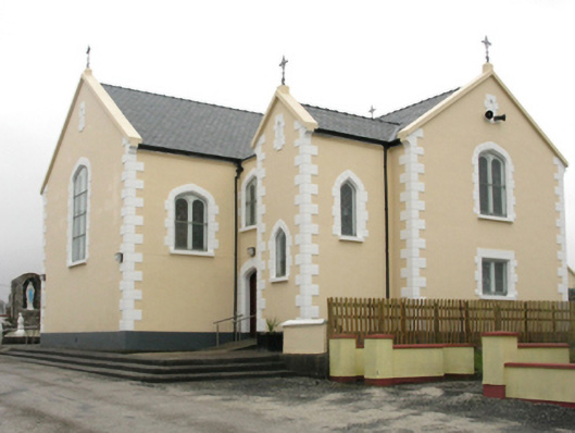 Saint Columkille's Catholic Churchchurch/chapel · 3.2 mi
 Oileán BearanachIslet · 4.3 mi
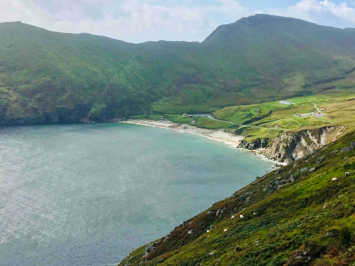 Trá na nAscaillBeach / strand · 5.0 mi
 Barranagh Castle in RuinsCastle, unclassified · 5.3 mi
Other information
Photo: Credit not shown in the picture search · Rights wording not checked; contact us if this picture should be removed