What is recorded here
In the N half of the interior of a rath (SL031-019001-). This consists of a square flat area (6m N-S; 6m E-W) defined by a scarp revetted with stones. Immediately to S is a possible hut site (SL031-019003-). Both appear to pre-date the cultivation ridges which cross the rath interior.
Compiled by: Archaeological Survey Unit, UCC with revisions by Patrick F. O'Donovan and Paul Walsh
Date of upload: 20 June 2011
The monument record does not grant public access. Check the route and ask the landowner before entering private land.
- What survives
- Recorded monument
Places near here
 IndicatedFairy fort / stone ringfort · 687 yd
 Tawnyart WoodWood · 1228 yd
 New WoodWood · 1741 yd
 CaltraghArchaeological place · 1.3 mi
 Mass RockNamed rock · 1.9 mi
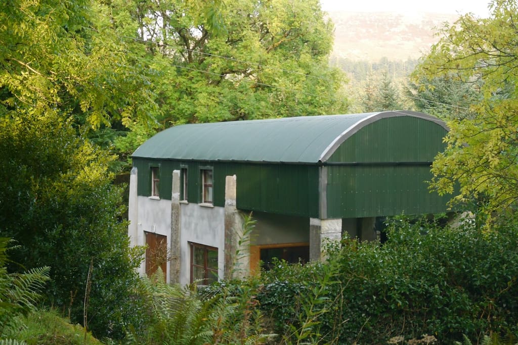 CloonacoolMountain / peak · 2.2 mi
 Castle Carragh in RuinsCastle, unclassified · 2.8 mi
 FriaryReligious house, Franciscan Third Order Regular · 2.8 mi
 Castle (Site of)Castle, unclassified · 3.3 mi
 The Turf Stack RockNamed rock · 3.8 mi
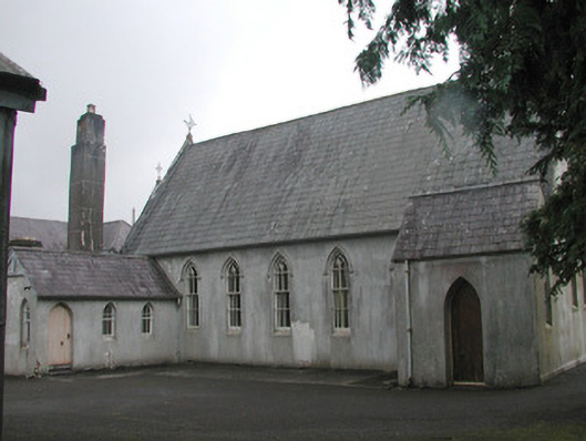 Banada Abbey Conventchurch/chapel · 4.0 mi
 Sruffaungarve TopMountain / peak · 4.0 mi