What is recorded here
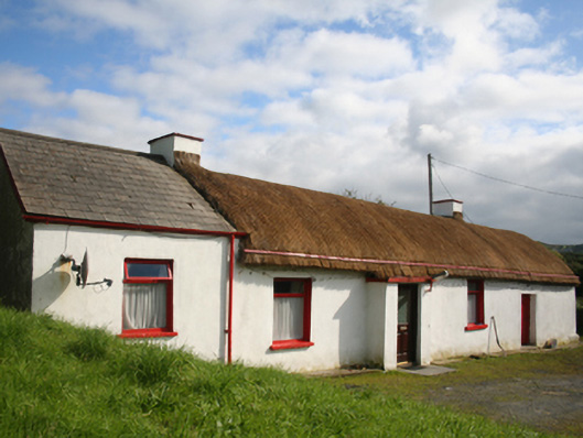
Detached three-bay single-storey vernacular house, built c. 1820, windbreak porch to front, single-bay extension to west and single-bay byre to east. Pitched thatched roof with latticed restraining ropes and cast-iron stays, pitched artificial slate to extension, flat cornice to porch, limewashed rendered chimneystacks to gable ends of three-bay structure, cast-iron rainwater goods. Limewashed render to random rubble stone walls. Square-headed window openings over painted sills, replacement timber windows. Square-headed door opening, replacement timber glazed and panelled door. Set in own grounds with outbuildings to south west; two-bay with round pitched thatch and rubble stone walls; and two-bay with flat corrugated-metal roof and rubble stone walls.
A vernacular thatched dwelling typical of the region. Makes a contribution to the character of the surrounding area and represents an important survival preserving a traditional local craft and a building type once much more common in the Irish countryside. A house is shown on this site on the Ordnance Survey first edition six-inch map of c. 1837.
This does not grant access. Most recorded buildings are privately owned; view them only from public ground unless the owner allows entry.
Places near here
 St. Mary’s Catholic Churchchurch/chapel · 153 yd
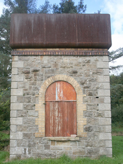 water towerwater tower · 251 yd
 Roosky Stone Ringfort near ClonmanyFairy fort / stone ringfort · 413 yd
 Former Gaddyduff Fairy FortFairy fort / ringfort · 533 yd
 Clonmany Early Church GraveyardGraveyard · 1605 yd
 Glenevin Waterfall WalkOfficial walking route · 1.3 mi
 Glenevin WaterfallWaterfall · 1.5 mi
 Glenevin Waterfall, Clonmanywaterfall · 1.5 mi
 Glendowen craft shopHeritage attraction · 1.9 mi
 Raghtin MoreMountain / peak · 2.5 mi
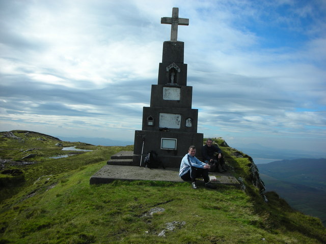 BulbinMountain / peak · 2.9 mi
 Glashedy IslandIslet · 3.9 mi
Other information
Photo: National Inventory of Architectural Heritage · Website use allowed for educational or private purposes with source credit