What is recorded here
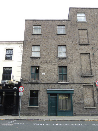
Terraced two-bay four-storey former house, built c.1780, now in use as offices. Pitched slate roof and stepped brick chimneystack with replacement terracotta chimneypots. Stone coping to parapet. Brown brick walls laid in Flemish bond. Square-headed window openings, with three-over-six pane timber sash windows to third floor, six-over-six pane timber sash windows to second floor, replacement timber casement windows to first floor and two-over-two pane timber sash window to ground floor. Cement rendered reveals and painted stone sills throughout. Integral carriage arch to ground floor infilled with timber shopfront containing square-headed timber panelled door flanked by plain pilasters and plate glass window on timber riser. Concrete render to north gable. Concrete paving to west with granite kerbstones.
These offices form part of a terrace of late eighteenth-century domestic buildings, facing west to the Four Courts. Like many buildings in close proximity to the courts, it is now in use as solicitors' offices. The former house retains its elegant eighteenth-century proportions, and fabric such as timber sash windows and structural brick. Its historic character is enhanced by the presence of granite kerbstones to the west. The origins of Chancery Place are shown on Rocque's map of 1756 as Mass Lane, which was developed at the turn of the nineteenth century as Chancery Place, takings its name from the nearby Court of Chancery. Chancery Place was extended north to meet Pill Lane c.1850 and Chancery Place and Chancery Street are sited on Griffith's Valuation map c.1855. Directly opposite the Four Courts (built c.1802), these offices were occupied by solicitors throughout the nineteenth and twentieth centuries.
This does not grant access. Most recorded buildings are privately owned; view them only from public ground unless the owner allows entry.
Places near here
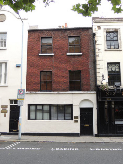 R.T. Ringrose Solicitorshouse · 18 yd
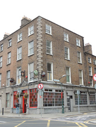 O'Reilly Bros.house · 20 yd
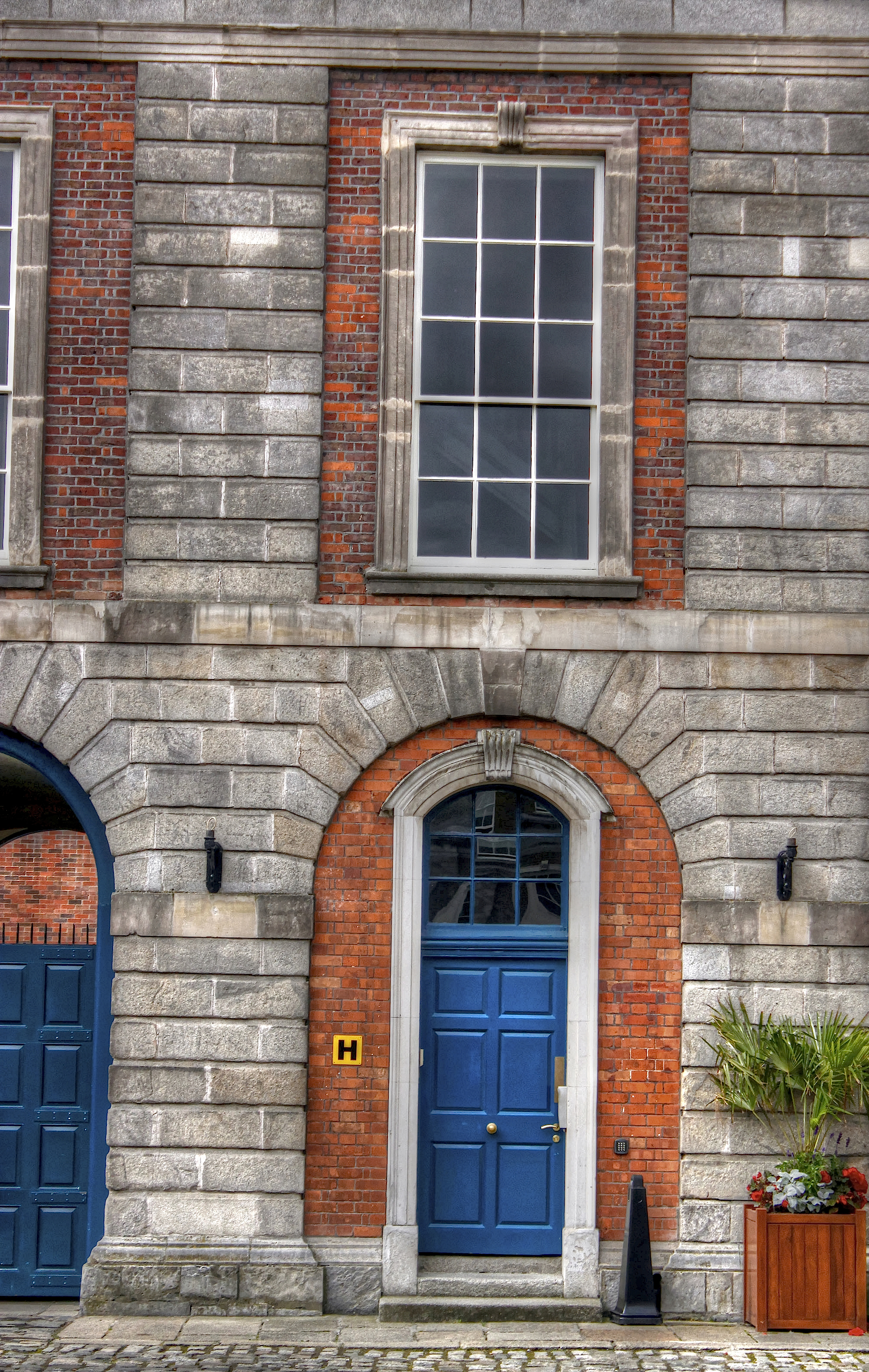 Courthouse in Unknown TownlandCourthouse · 218 yd
 Ecclesiastical residence in Unknown TownlandEcclesiastical residence · 238 yd
 Saint Audoen's GateHeritage attraction · 262 yd
 Medieval City Wall and St. Audeon's ArchHeritage attraction · 281 yd
 Gairdín Súgartha i gCuimhne ar na Páistí a Cailleadh in 1916Memorial · 335 yd
 Medieval DublinVisitor information · 390 yd
 John FieldMemorial · 392 yd
 London PlaneLondon Plane · 771 yd
 European PearEuropean Pear · 889 yd
 Apple OrchardVisitor information · 976 yd
Other information
Photo: National Inventory of Architectural Heritage · Website use allowed for educational or private purposes with source credit