What is recorded here
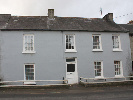
Terraced four-bay two-storey house, built c. 1860. Pitched slate roof with terracotta ridge tiles, smooth rendered chimneystacks with cornice coping to south gable and to south of north gable, replacement rainwater goods. Smooth rendered ruled-and-lined walls with red brick eaves course. Square-headed window openings with six-over-six timber sash windows and painted sills. Square-headed door opening to front with half-glazed timber door with glazed overlight. Fronts directly onto street with derelict house directly to north and two-storey outbuilding to south gable.
A simple terraced house which despite the condition of the adjoining property has retained its architectural integrity and details. It appears to replace an earlier terrace shown on the Ordnance Survey first edition six-inch map of c. 1837. It probably originally served the extensive mill complex at Bridge End.
This does not grant access. Most recorded buildings are privately owned; view them only from public ground unless the owner allows entry.
Places near here
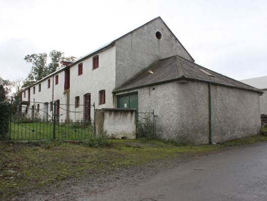 mill (water)mill (water) · 209 yd
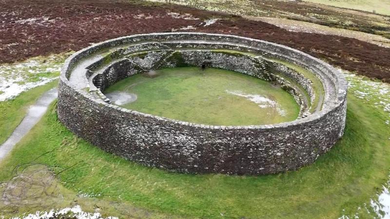 Bunnamayne Levelled Fairy FortFairy fort / earthen ringfort · 594 yd
 Former Dundrean Fairy FortFairy fort / ringfort · 1548 yd
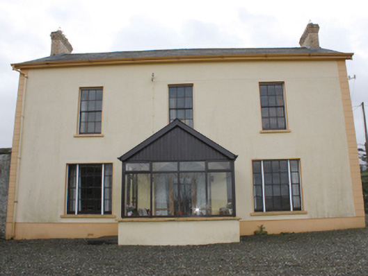 farm housefarm house · 1.1 mi
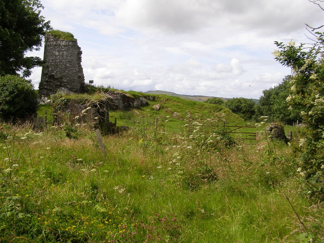 CASTLE & EARTHWORK ENCLOSURE: DOHERTY TOWER or CASTLE AILEACH in Elagh MoreCASTLE & EARTHWORK ENCLOSURE: DOHERTY TOWER or CASTLE AILEACH · 1.3 mi
 Grianán of AileachFairy fort / stone ringfort · 2.0 mi
 Greenan MountainMountain / peak · 2.0 mi
 Cashel HillMountain / peak · 2.6 mi
 Battle of the BogsideMajor battlefield · 3.5 mi
 Siege of Derry Boom Stone"The Boom Stone" (Traditionally part of 17th century boom across the River Foyle during the Siege of Derry) · 3.6 mi
 Museum of Free DerryMuseum · 3.6 mi
 Emmery Celtic CrossWood · 3.6 mi
Other information
Photo: National Inventory of Architectural Heritage · Website use allowed for educational or private purposes with source credit