What is recorded here
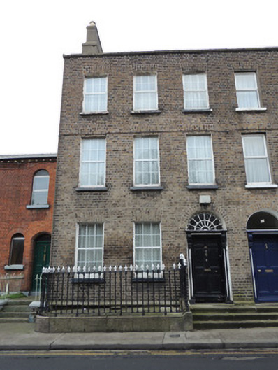
End-of-terrace three-bay three-storey former house with dormer attic, built c.1810, having two-storey return to rear elevation. Now converted to apartments. Pitched slate roof, with rendered chimneystack on gable wall. Granite coping to parapet. Brown brick walls laid in Flemish bond to front (north-east) elevation. Lined-and-ruled rendered walls to south-east and rear elevations. Square-headed window openings with gauged brick voussoirs, rendered reveals, painted sills and replacement uPVC windows. Round-headed door opening, having brick voussoirs, petal fanlight, painted masonry surround with engaged pilasters with consoles, and timber panelled door. Granite paved platform and steps shared with no.82 to north-west. Cast-iron railings on carved granite plinth wall enclosing area to front.
The footprint of the terrace of three houses can be discerned on Corbett’s map of Dublin of 1821, and is clearly marked on the first edition Ordnance Survey Map of 1837. The terrace makes a positive contribution to the streetscape, with its imposing height and patina of age. Though the timber sash windows have been replaced with uPVC windows, the diminishing windows create a well-proportioned façade, as was characteristic of domestic Georgian architecture.
This does not grant access. Most recorded buildings are privately owned; view them only from public ground unless the owner allows entry.
Places near here
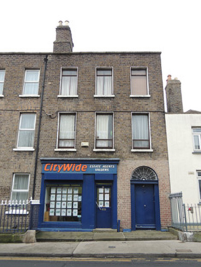 Citywide Estate Agentshouse · 13 yd
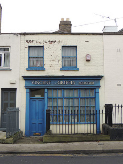 Vincent T. Griffin Solicitorhouse · 30 yd
 1916 Easter RisingMemorial · 351 yd
 UN Veterans MemorialMemorial · 353 yd
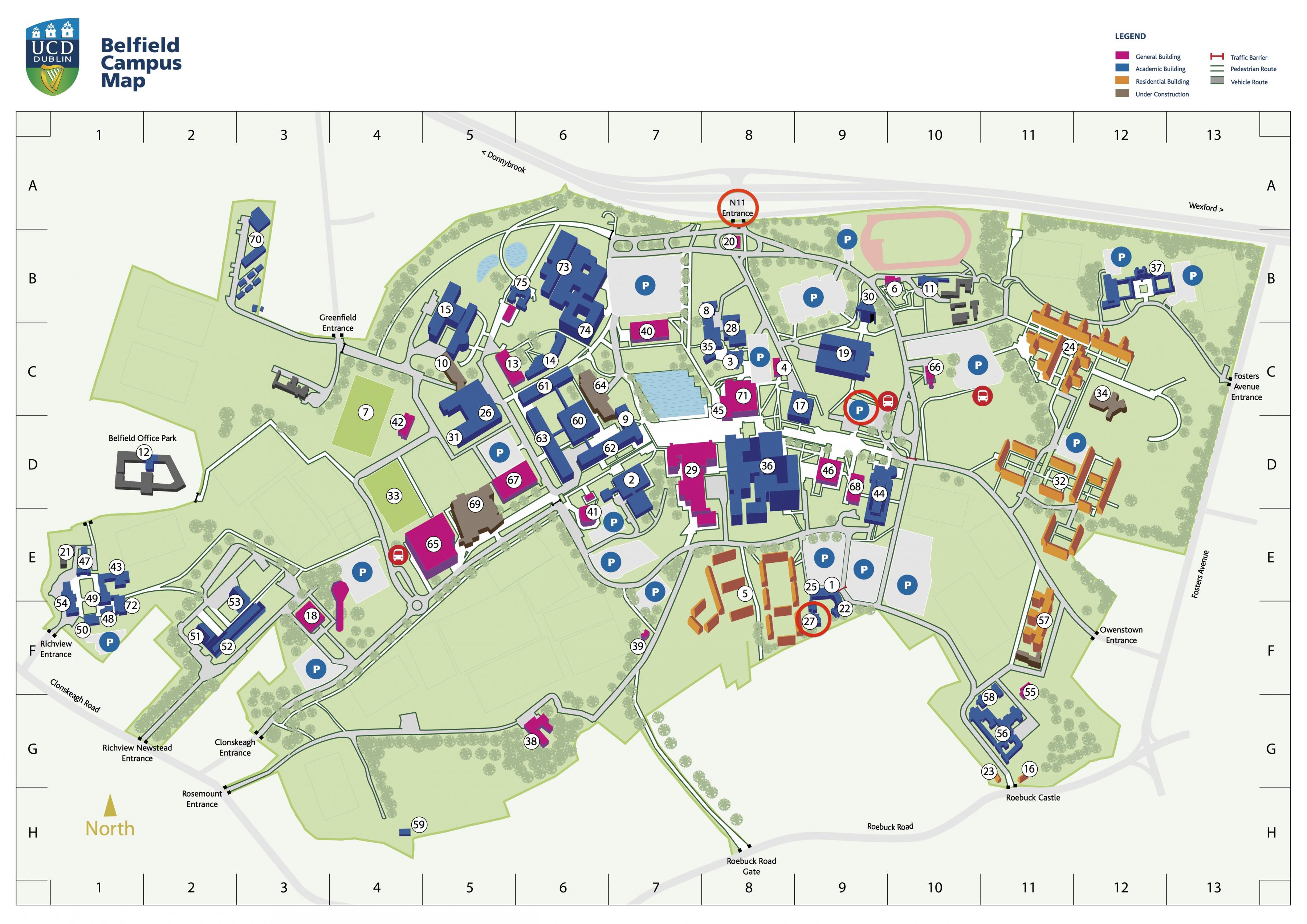 Campus Information PointVisitor information · 568 yd
 AsgardMuseum · 591 yd
 National Museum of Ireland, Decorative Arts & HistoryMuseum · 595 yd
 CastleCastle, unclassified · 619 yd
 Royal BarracksBarracks · 620 yd
 Burial ground in Unknown TownlandBurial ground · 799 yd
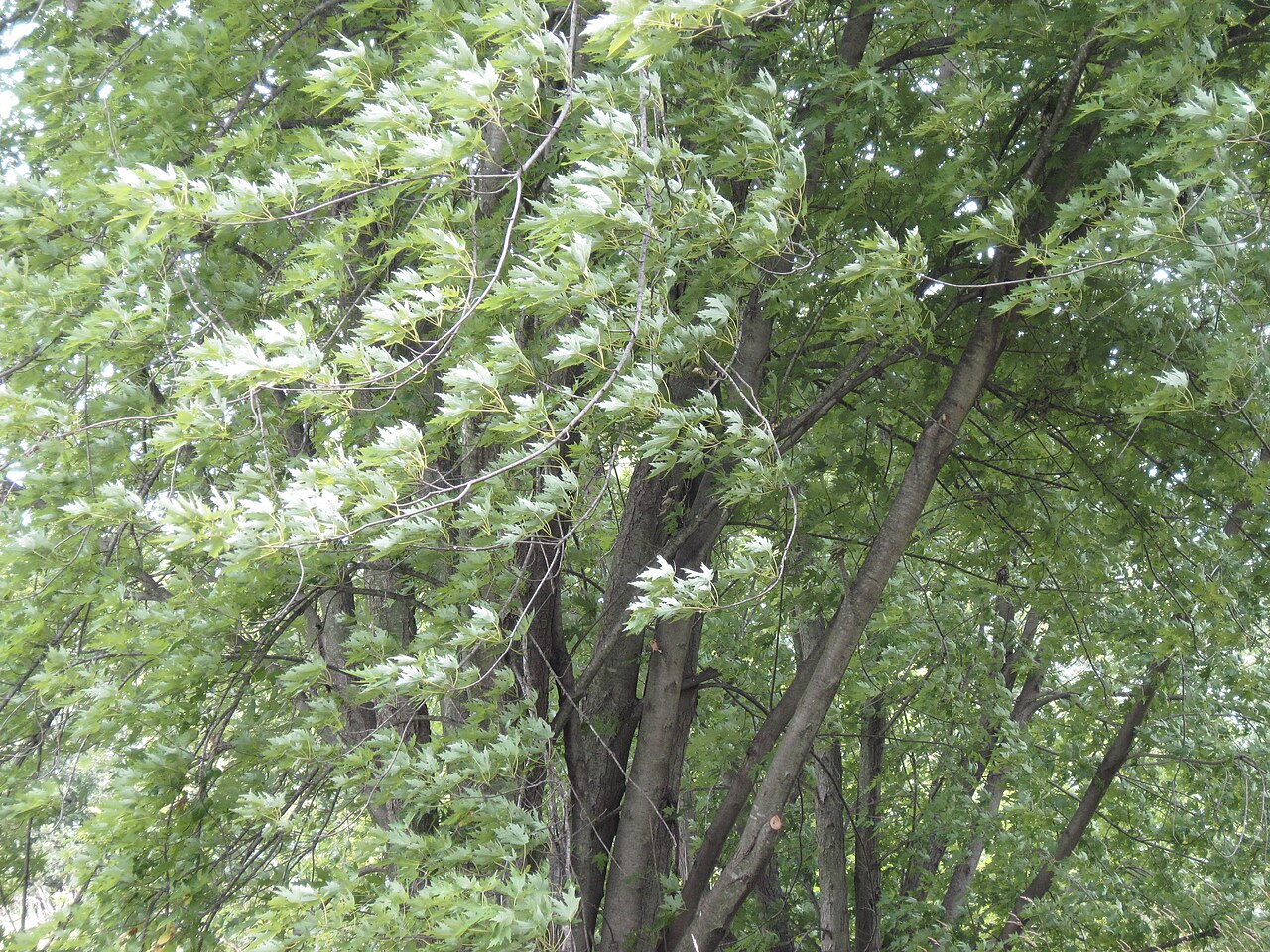 Silver mapleSilver maple · 937 yd
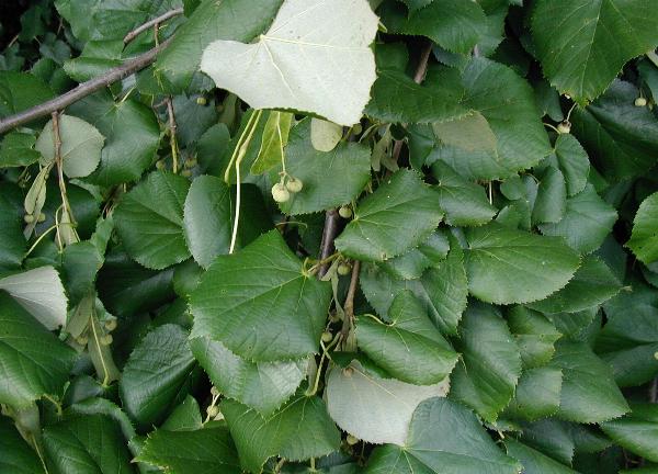 Silver LimeSilver Lime · 941 yd
Other information
Photo: National Inventory of Architectural Heritage · Website use allowed for educational or private purposes with source credit