What is recorded here
There is evidence for the existence of a hospital outside the walls of Athlone to the E (Lee, 1974-5, 225). It is first referred to as the "Spitell ground" near Athlone in 1570 and again in 1583. In 1612 it is described as "the lands called Spittle-grounds" and are said to have formed part of the estate of the friary of Athlone, while a survey of 1641 mentions a ruinous chapel with a spittalhouse outside the E gate, belonging to Dillon, earl of Roscommon. Two eighteenth century deeds allowed Lee to locate the hospital more precisely. A deed of 1727 noted that the "Spittle house was bounded on the N and E by the hill called Anchor's Bower and on the W by Irishtown, while a deed of 1763 noted that the "lands of Spittlefield" were then known as Mardyke and were situated at the end of Irishtown. The site of the hospital would appear to have been in the vicinity of Sean Costello Street, where Mardyke Street meets Irishtown (Bradley et. al. 1985, 49).
Compiled by: Rachel Barrett
Date of upload: 15 October 2010
The monument record does not grant public access. Check the route and ask the landowner before entering private land.
- What survives
- Recorded monument
Places near here
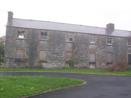 workhouseworkhouse · 415 yd
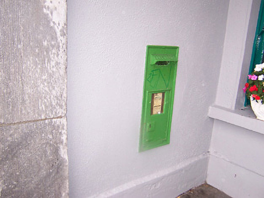 Athlone Railway Stationpost box · 420 yd
 Ancient WallTown defences · 572 yd
 1916 Centenery CommemorationMemorial · 679 yd
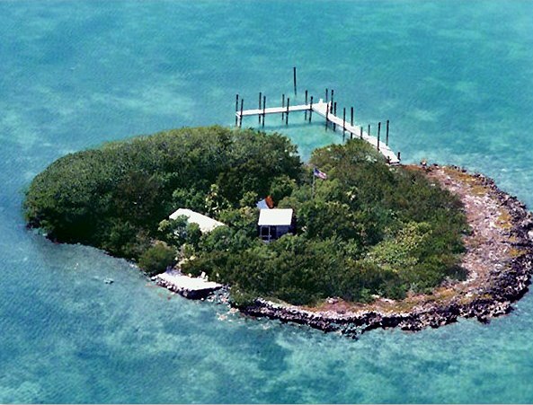 Charlie's IslandIslet · 724 yd
 Luan GalleryGallery · 763 yd
 CastleCastle, unclassified · 788 yd
 Athlone Music MuseumMuseum · 791 yd
 Historic Town - Athlone Castle & Church of St Peter and PaulVisitor information · 818 yd
 CrossCross, Wayside cross · 865 yd
 Siege of Athlonesiege · 904 yd