What is recorded here
Holy wells have never needed consent. They give water to the thirsty, fill bowls for the hungry, and wait patiently for people ready to listen. Ballyoran may have lost the exact stone circle or forgotten the name of the woman who first drank there, but the well itself does not need a map. It is still somewhere under the soil, still giving, still watching whether humans remember that grace does not need permission.
The official Northern Ireland record identifies this as HOLY WELL (unlocated). Recorded period: UNCERTAIN. The official map point was placed at the centre of the recorded archaeological site from the source map reference.
The monument record does not grant public access. Check the route and ask the landowner before entering private land.
- What survives
- Recorded monument
Places near here
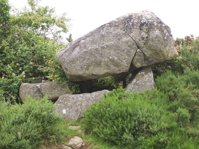 PORTAL TOMB: THE KEMPE STONES in GreengravesPORTAL TOMB: THE KEMPE STONES · 480 yd
 ENCLOSURE in BallylisbredanENCLOSURE · 717 yd
 Old MillShop · 992 yd
_-_geograph.org.uk_-_3201578.jpg?width=1280) Presbyterian ChurchChurch · 1.3 mi
Presbyterian ChurchChurch · 1.3 mi CairngaverMountain / peak · 2.0 mi
 Kiltonga Nature ReserveNature reserve · 2.2 mi
 Cairn WoodForest · 2.3 mi
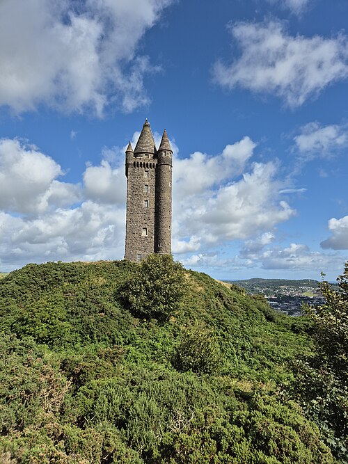 Scrabo TowerHeritage attraction · 2.3 mi
 Scrabo HillMountain / peak · 2.3 mi
 Comber GreenwayWalking route · 2.4 mi
 FORTIFICATION (site of): MOUNT ALEXANDER CASTLE in Mount AlexanderFORTIFICATION (site of): MOUNT ALEXANDER CASTLE · 2.6 mi
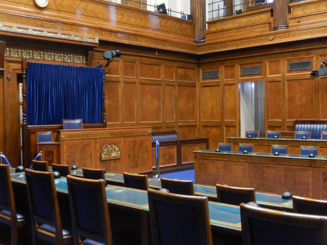 Assembly ChamberHeritage attraction · 2.6 mi