What is recorded here
Turrasaglin Well in Lear, County Derry, remains an uncertain holy water place where local faith may have met ordinary thirst. The name suggests a forgotten religious connection, perhaps marking clean water beside a road or field. People may have dipped cups, washed wounds or whispered prayers before leaving. The well still belongs to the landscape even when no longer certain in memory.
The official Northern Ireland record identifies this as HOLY WELL: TURRASAGLIN WELL. Recorded period: UNCERTAIN. The official map point was placed at the centre of the recorded archaeological site from the source map reference.
Linked to Saint Turlogh (or Turloch), this holy well is traditionally associated with cures for skin ailments and general healing. Pilgrimages and rituals, including the leaving of coins and cloth offerings, reflect longstanding local folklore surrounding the saint’s intercession and the well’s sacred waters.
The monument record does not grant public access. Check the route and ask the landowner before entering private land.
- What survives
- Recorded monument
Places near here
 Learmount WoodWood · 676 yd
 Learmount CastleCountry House · 690 yd
 ENCLOSURE in CarnanreaghENCLOSURE · 1.7 mi
 ENCLOSURE? in LearENCLOSURE? · 1.9 mi
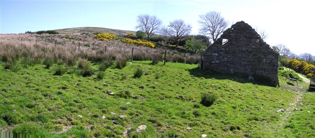 CrockdooishMountain / peak · 2.7 mi
 Banagher Presbyterian ChurchChurch · 2.9 mi
 MULTIPERIOD CHURCH & GRAVEYARD (Early Christain-C18th) in CumberMULTIPERIOD CHURCH & GRAVEYARD (Early Christain-C18th) · 3.3 mi
 Ballydonegan SweathouseVisitor information · 3.4 mi
 Claudy bombingbomb attack · 3.5 mi
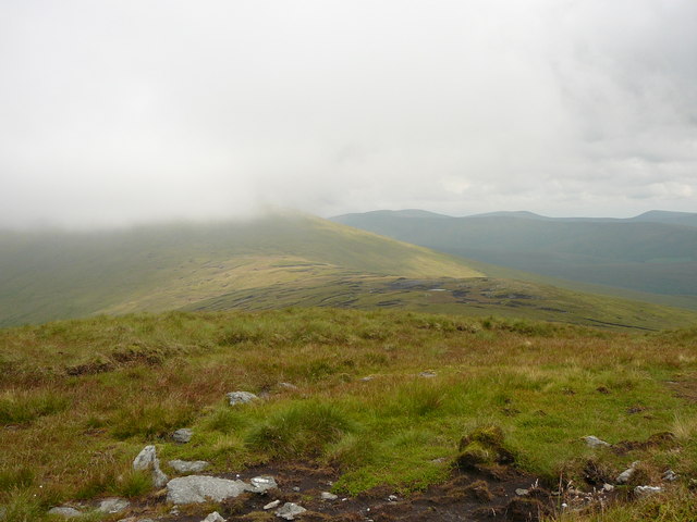 Dart MountainMountain / peak · 4.3 mi
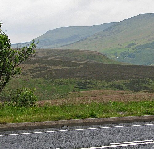 Sperrin MountainsMountain range · 4.9 mi
 Sperrins landscapeHeritage attraction · 5.0 mi