What is recorded here
Half-hidden in a hazel wood on a south-facing slope in County Clare, the holy well drops without warning into rock fissures nobody has measured. Its cliffs lean like listeners, the water disappears north into the earth, and a broken penitential cairn still lies east of the pool. People may have come here to be changed, not merely to drink.
At the bottom of a S-facing slope in a hazel wood. Indicated and named ‘Holy Well’ on the 1842 and 1920 eds. of the OS 6-inch map. This holy well is a natural deep pool (c. 3m N-S; 1.5m E-W) in the exposed bedrock, surrounded by overgrown and overhanging cliffs (H 2-3m) at W and E and open to the S although there may be spoil at this edge. At its N end the pool enters vertical fissures (max. D 1.8m) within the cliff-face. There is a shelf at the base of the cliffs on the E and W sides of the pool. The pool is shallow (D 0.45m) at the S end, but to the N of this it drops vertically to an unknown depth. There is a penitential cairn c. 5m to the E, now spread flat. An enclosure (CL011-018----) lies c. 80m to the NNW.
The following image has been uploaded:
CL011-019----_01.jpg View of well from SE
Compiled by: Mary Tunney and Conn Herriott
Date of upload: 23 January 2023
Linked to Saint Gobban, the well is traditionally associated with cures for skin ailments and general healing. Local folklore suggests that the saint founded a monastic site in the area, and the well was used for ritual washing and pilgrimage.
The monument record does not grant public access. Check the route and ask the landowner before entering private land.
- What survives
- Recorded monument
Places near here
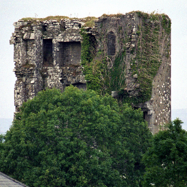 Kilkeedy Castle (in ruins)Castle, tower house · 1503 yd
 Font in Cross (inchiquin By.)Font · 1550 yd
 IndicatedEcclesiastical enclosure · 1599 yd
 R.C. Chapel (in ruins)Church · 1.6 mi
 Slieve RoeMountain / peak · 1.8 mi
 Mullagh MoreMountain / peak · 1.9 mi
 Bawn in DerryowenBawn · 2.2 mi
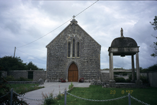 All Saints' Catholic Churchchurch/chapel · 2.4 mi
 Father Ted's HouseHeritage attraction · 3.1 mi
 Burren National ParkVisitor information · 3.4 mi
 Kilnaloone GraveyardArchaeological place · 4.3 mi
 Kilmacduagh Monastic SiteVisitor information · 4.5 mi