What is recorded here
St Bride's Well in Carrickfergus marked a hospital and graveyard where Fryar's Garden grew beside Spittal House. People may have drunk from the water, buried their dead and tended sick bodies under St Bridget's name. The exact dates remain unclear, but the layer of uses is plain: a holy well feeding a place of care and death.
The official Northern Ireland record identifies this as HOLY WELL, site of HOSPITAL? & GRAVEYARD: ST BRIDE'S WELL, SPITTAL HOUSE, FRYAR'S GARDEN, ST BRIDGET'S HOSPITAL. Recorded period: UNCERTAIN. The official map point was placed at the centre of the recorded archaeological site from the source map reference.
The monument record does not grant public access. Check the route and ask the landowner before entering private land.
- What survives
- Recorded monument
Places near here
 US RangersMemorial · 191 yd
 ENCLOSURE in Carrickfergus; East Central WardENCLOSURE · 395 yd
 Carrickfergus Railway StationRailway Station Structures · 416 yd
_-_geograph.org.uk_-_1734777.jpg?width=1280) Joymount Presbyterian ChurchChurch · 453 yd
Joymount Presbyterian ChurchChurch · 453 yd Carrickfergus MuseumMuseum · 481 yd
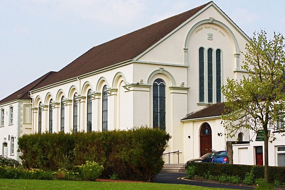 FORTIFIED HOUSE built on FRANCISCAN FRIARY: JOYMOUNT in CarrickfergusFORTIFIED HOUSE built on FRANCISCAN FRIARY: JOYMOUNT · 520 yd
 Siege of Carrickfergussiege · 559 yd
 MEDIEVAL PARISH CHURCH, POST-MED. & MODERN CHURCH & GRAVEYARD: ST NICHOLAS' CHURCH, ST NICHOLAS OF CRAGFERGUS in CarrickfergusMEDIEVAL PARISH CHURCH, POST-MED. & MODERN CHURCH & GRAVEYARD: ST NICHOLAS' CHURCH, ST NICHOLAS OF CRAGFERGUS · 669 yd
 STONE QUAY: FISHERMAN'S QUAY in CarrickfergusSTONE QUAY: FISHERMAN'S QUAY · 790 yd
 Battle of Carrickfergus (1760)Major battlefield · 832 yd
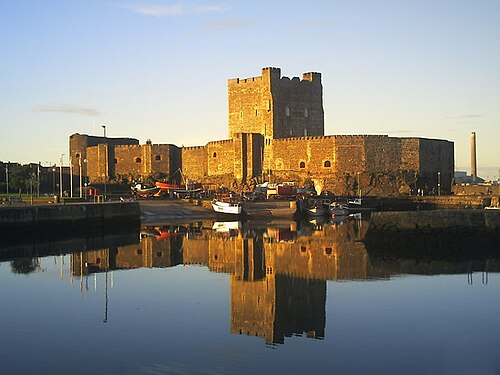 Carrickfergus CastleCastle · 835 yd
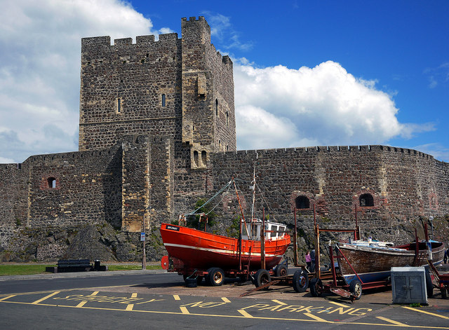 CARRICKFERGUS CASTLE in CarrickfergusCARRICKFERGUS CASTLE · 840 yd