What is recorded here
Depicted as 'Holy Well' on all editions of the Ordnance Survey six-inch maps. Not visible at ground level.
The above description is derived from the published 'Archaeological Inventory of County Offaly' (Dublin: Stationery Office, 1997). In certain instances the entries have been revised and updated in the light of recent research.
Date of upload/revision: 24 April 2012
Compiled by Caimin O'Brien
Linked to Saint Faddan, the well is traditionally associated with cures for skin ailments and was historically visited for ritual washing. The site's name, Boherfadda, reflects its connection to the saint, while the lack of a visible structure suggests it may have been a simple, natural spring used in early Christian devotional practices.
The monument record does not grant public access. Check the route and ask the landowner before entering private land.
- What survives
- Recorded monument
Places near here
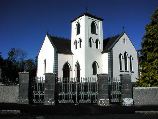 Saint Manchin's Catholic Churchchurch/chapel · 249 yd
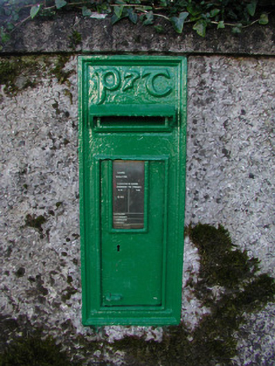 post boxpost box · 303 yd
 Crannog in SpringparkCrannog · 643 yd
 ToberneevaHoly well · 730 yd
 Castle ArmstrongHouse, fortified house · 979 yd
 Lemanaghan CastleCastle, tower house · 2.4 mi
 Clara Bog BoardwalkHeritage attraction · 4.1 mi
 Cocta HillMountain / peak · 4.3 mi
 Moate HillMountain / peak · 4.7 mi
 The Bob Traynor GalleryGallery · 4.8 mi
 Charles BianconiMemorial · 4.8 mi
 Saint Reaghan's WellSpring · 5.3 mi