What is recorded here
Closed in the 1800s and stripped of its bushes and stones in the mid 1990s, the Sheetrim holy well no longer invites touch or prayer. Tubberdoany, also called Tober Domhnaig, stood on a south-facing hillock with wide views, its rag-tree and water used for cures in a manuscript dated around 1815. What remains is absence: a known place whose markers were removed, leaving only the memory of water, cloth, and the people who believed it could restore them.
Located on a S facing hillock with good views. A well called Tubberdoany in Monaghan parish and its attendant rag-tree was resorted to for cures according to a manuscript of c. 1815 quoted by John O’Donovan (Herity 2012, 175), and the well is also mentioned by Coote (1801, 181). 'Tober Domhnaig' at Sheetrim is also known in the folk record (IFC Schools’ MSS: (958) 43-4: https://www.duchas.ie/en/cbes ). The location is known locally and is said to have been closed in the 1800's. The remaining bushes and stones associated with it were removed in the mid 1990's.
Date of revision: 23 February 2013
The holy well, known as Tubberdoany, is associated with local healing traditions, as evidenced by 19th-century accounts mentioning its use for cures and an attendant rag-tree where seekers left offerings. It was recorded in a manuscript from around 1815 cited by John O’Donovan, indicating its significance in the folklore and religious practices of the Monaghan area.
The monument record does not grant public access. Check the route and ask the landowner before entering private land.
- What survives
- Recorded monument
Places near here
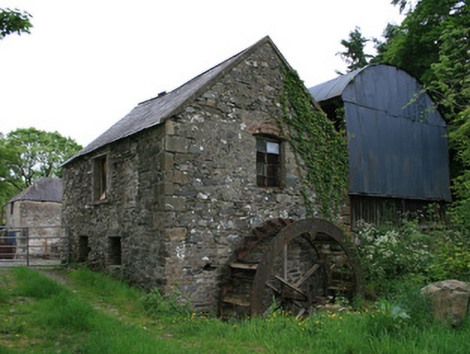 Tullyleer Housemill (water) · 756 yd
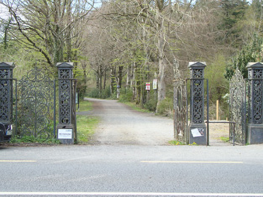 Rossmore Castledemesne walls/gates/railings · 1247 yd
 Court tomb in KillydrutanCourt tomb · 1734 yd
 Lady Rossmore's Cottage (Ruin)Heritage attraction · 1735 yd
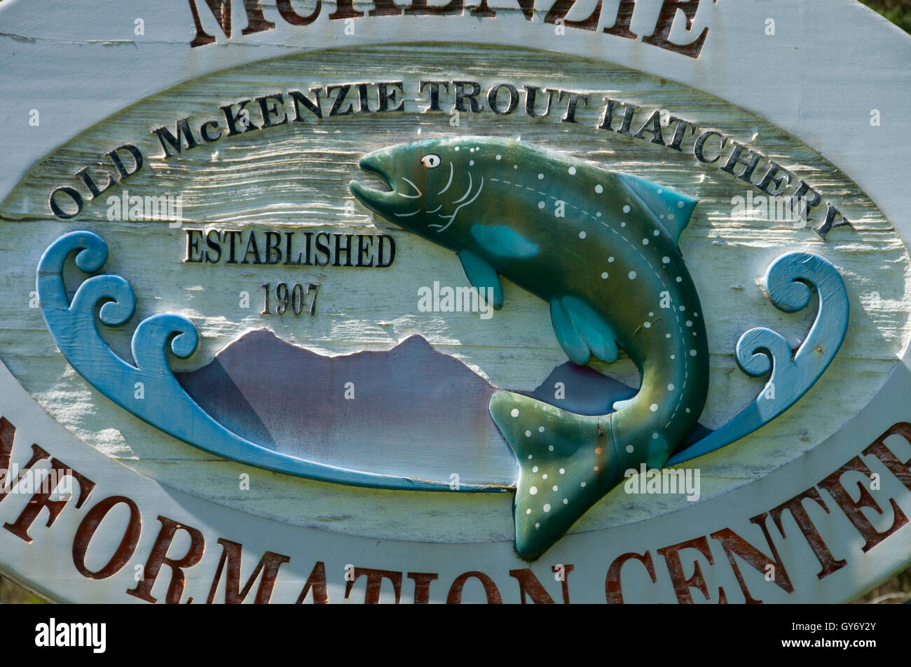 Old Fish HatcheryHeritage attraction · 1.1 mi
 IndicatedEnclosure · 1.1 mi
 Mullaghmatt ForestWood · 1.3 mi
 Cortolvin ForestWood · 1.7 mi
 Bawn in Roosky (monaghan By., Monaghan Par.)Bawn · 1.8 mi
 Rossmore MonumentMemorial · 1.9 mi
 Castleshane WaterfallWaterfall · 3.4 mi
 Rough HillMountain / peak · 4.2 mi