
What is recorded here
On the rocks at E point of the island. A natural pothole below HWM which is regarded locally as a holy well (info. T. Robinson). Not visited.
The above description is derived from the published 'Archaeological Inventory of County Galway Vol. I - West Galway'. Compiled by Paul Gosling (Dublin: Stationery Office, 1993).
Date of upload: 05 August 2010
Linked to no specific saint or recorded tradition; the well is a natural pothole venerated locally as a holy site, though details of its folklore or historical use remain undocumented.
The monument record does not grant public access. Check the route and ask the landowner before entering private land.
- What survives
- Recorded monument
Places near here
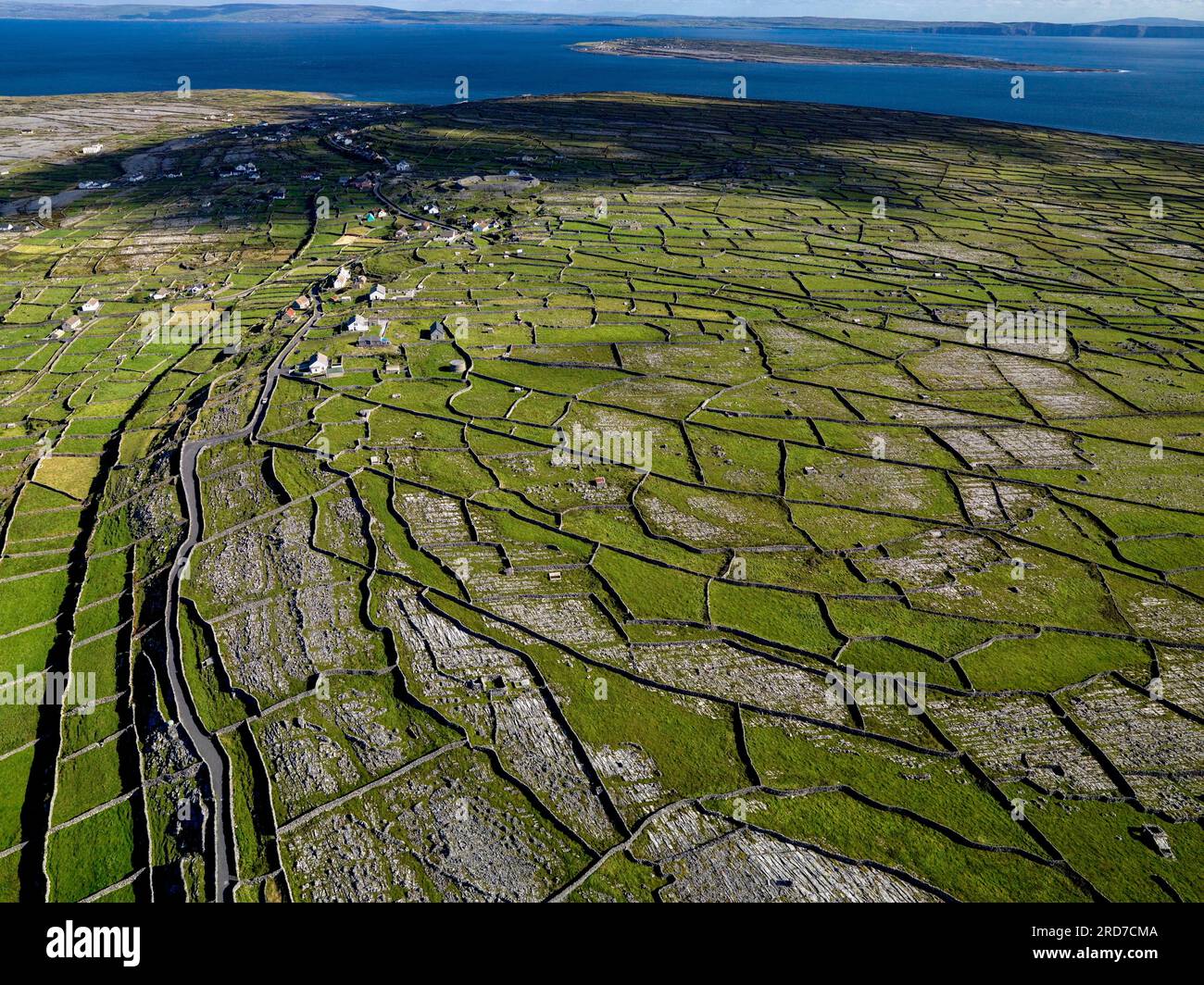 Inis MúscraíIslet · 245 yd
 Holy well in Birmore RockHoly well · 1.0 mi
 Oileán LachanIslet · 1.1 mi
 Holy well in MaínisHoly well · 1.3 mi
 Cora na hAirde MóireHeadland · 2.4 mi
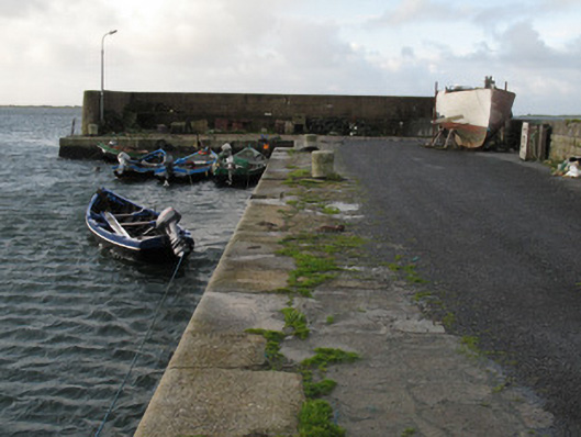 Cé Charna [Carna Quay]quay/wharf · 2.6 mi
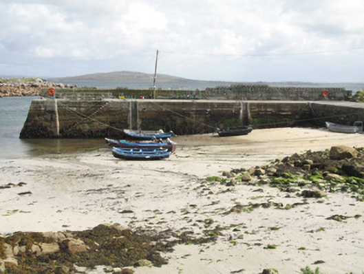 Cé an Aird Mhóir [Ardmore Quay]quay/wharf · 2.7 mi
 Ard Castle (in ruins)Castle, tower house · 3.6 mi
 An Tóin DubhHeadland · 4.2 mi
 Ionad Oidhreachta Leitir MealláinMuseum · 4.3 mi
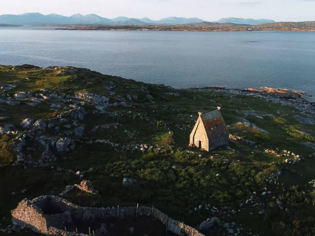 St. MacDara's Island Early Medieval Ecclesiastical SiteHeritage attraction · 4.4 mi
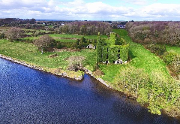 Castle (in ruins)Castle, unclassified · 4.7 mi
Other information
Photo: Credit not shown in the picture search · Rights wording not checked; contact us if this picture should be removed