What is recorded here
Holy well in Greenoge stands at the bottom of a north-facing slope beside the R125, probably dedicated to St Nicholas like the nearby church. Locals still regard it as a ritual place, though no offerings remain in its shallow water. A D-shaped masonry cairn conserved around 1990 marks the opening, preserving a site old enough to resist mapping yet familiar enough to belong.
Located at the bottom of a N-facing slope c. 90m S of a WNW-ESE section of the Broadmeadow Water and c. 90m NE of the parish church of Greenoge (ME045-018----). It is just on the S side of the R125 Swords to Ahsboune road, but it is not marked as an antiquity on the 1837 and 1909 eds of the OS 6-inch map. However, it is regarded locally as a holy well (Feeley 2001, 50) and like the church was probably dedicated to St Nicholas. The well was conserved c. 1990 as a D-shaped masonry cairn (dims 2.4m WNW-ESE; 1.3m NNE-SSW; max H 1.2m) with a rectangular opening (Wth 0.64m; H 0.58m; D 0.7m) on the N side, and the well (D 0.65m) has some water but there are no offerings.
Compiled by: Michael Moore
Date of upload: 11 September, 2015
The monument record does not grant public access. Check the route and ask the landowner before entering private land.
- What survives
- Recorded monument
Places near here
 Church (in Ruins)Church · 123 yd
 Enclosure in BallaghawearyEnclosure · 739 yd
 Enclosure in Rath (ratoath By., Greenoge Par.)Enclosure · 1062 yd
 CastleCastle, motte · 1.2 mi
 Wooly Ward's FarmHeritage attraction · 1.2 mi
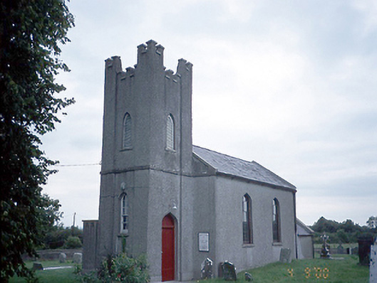 Saint David's Church (Kilsallaghan)church/chapel · 1.5 mi
 AshbourneMemorial · 1.6 mi
 Graveyard in KillosseryGraveyard · 1.8 mi
 Freedagh MoatCastle, motte · 2.3 mi
 Wesley's WoodsWood · 3.7 mi
 St. John's WellSpring · 3.9 mi
 St Cronans WellSpring · 4.6 mi