
What is recorded here
Faill Dearg remains a red cliff where water still drips at the Glanageenty and Tooreen junction, remembered for rounds made before 1860 and praised as second only to Curraheen in clarity. People once carried that water to the sick, while Seaghan Taidhg Óig Linehan witnessed the rituals and Thomas Burke heard of the cures. The well is no longer visited, but the red stone still gives up its clear water, keeping the old belief alive without ceremony.
Folklore collected from Ballymacelligott School recorded the following tradition: 'Faill Dearg (Red Cliff) well is in Nohoval in Richard Burkes land. Seaghan Taidhg Óig Linehan (1845 - 1910) saw rounds made there. So he told Tom Flynn's (born 1891) of "Baile Breathnach" - 20 years ago. These rounds were made before 1860. There is fine water in it second only to Curraheen (Tralee's water supply) in an Analysis test. Tom Flynn father (Maurice) say "Seán" never told him the well was Holy. He would have told him if it were. Tom Flynn is not sure whether "Seán" heard of or saw rounds made at the well. Thomas Burke (born 1883) who lives near, often heard of sick people sending for the water of the well as a cure' (The Schools’ Collection, Volume 0443, Page 064;https://www.duchas.ie/en/cbes/4706340/4704133/4783814?ChapterID=4706340).
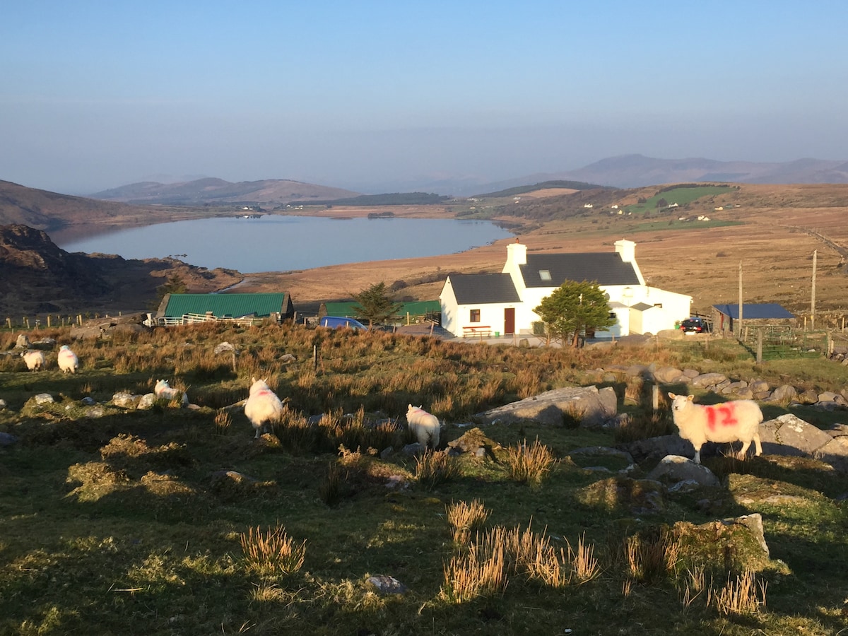
Holy well described by O'Hare (2000, 66) as; 'Faill Dearg is still identified locally as the cliff face which is visible on the acute road bend at the junction of the townlands of Glanageenty and Tooreen. The water, which is visible dripping from the reddish coloured cliff face, is still believed to have curative powers. The site however, is no longer visited'.
Compiled by: Caimin O'Brien
Date of upload: 29 April 2022
The holy well at Faill Dearg (Red Cliff) in Glanageenty is associated with local pilgrimage and healing traditions, with accounts of people walking rounds at the site. It is linked to pre-Christian practices that may have been Christianized over time, as was common with many Irish holy wells.
The monument record does not grant public access. Check the route and ask the landowner before entering private land.
- What survives
- Recorded monument
Places near here
 (Site of) Desmond CastleCastle, unclassified · 363 yd
 Hut site in Garraun MoreHut site · 1170 yd
 Enclosure in KilbaneEnclosure · 1.4 mi
 Nohaval Church (in ruins)Church · 1.8 mi
 Church in Crag (trughanacmy By., O'brennan Ed)Church · 2.1 mi
 Site of Rockfield Ho.Castle, unclassified · 2.3 mi
 PouldermotCave · 3.2 mi
 Poulclashcannon (blocked)Cave · 3.3 mi
 Ballincollig HillMountain / peak · 3.6 mi
 Stack's MountainMountain / peak · 3.8 mi
 Common AlderCommon Alder · 4.8 mi
 Kilflynn Nature ReserveNature reserve · 6.5 mi
Other information
Photo: Credit not shown in the picture search · Rights wording not checked; contact us if this picture should be removed