What is recorded here
Tobar Cholmcille is a small round pothole below the high-water mark on the east coast of an island in County Galway, just south of Crompán an Mhaide Mhóir. Many mistake a larger tub-sized pothole higher up the shore for the holy well, but the real ritual site is the smaller hole where the sea still touches stone. People may have knelt there at low tide, pouring water or leaving offerings beside the inlet, while the wrong hole collected only rain and forgetting.
Below HWM on E coast of the island just S of a small inlet called Crompán an Mhaide Mhóir. Known locally as Tobar Cholmcille, it consists of a small round pothole, not to be confused with a tub-sized pothole higher up on the shore which many mistake for the holy well (info. T. Robinson). Not visited.
The above description is derived from the published 'Archaeological Inventory of County Galway Vol. I - West Galway'. Compiled by Paul Gosling (Dublin: Stationery Office, 1993).
Date of upload: 05 August 2010
Linked to St. Columba (Colmcille), the well is associated with early Christian pilgrimage and healing traditions. Local folklore suggests the saint visited the site, and the water was historically used for curing ailments and spiritual purification.
The monument record does not grant public access. Check the route and ask the landowner before entering private land.
- What survives
- Recorded monument
Places near here
 FornaisIsland · 403 yd
 Oileán ChaisínIslet · 861 yd
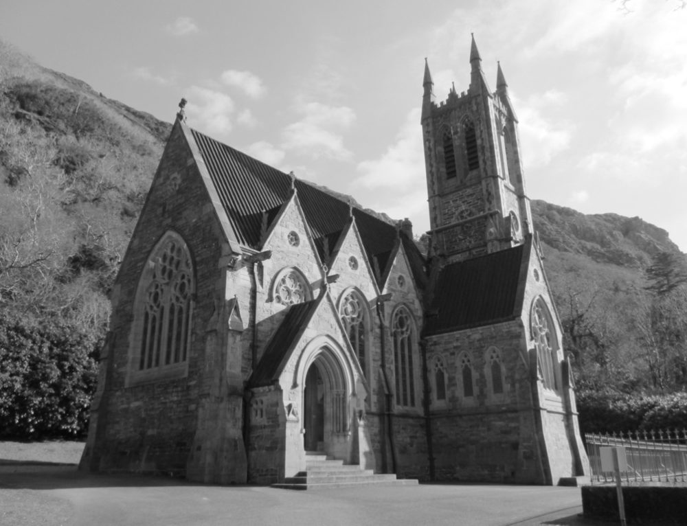 R. C. Chapel (in ruins)Chapel · 1690 yd
 Séipéal Réalt na Mara [Catholic Church of the Star of the Sea]church/chapel · 1.2 mi
 Ionad Oidhreachta Leitir MealláinMuseum · 1.2 mi
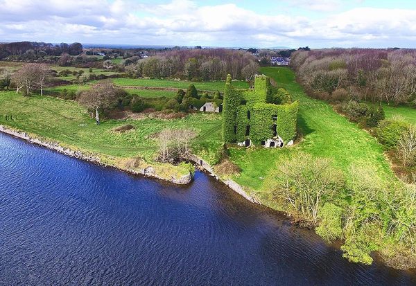 Castle (in ruins)Castle, unclassified · 1.5 mi
 Holy well in Leitir MealláinHoly well · 2.0 mi
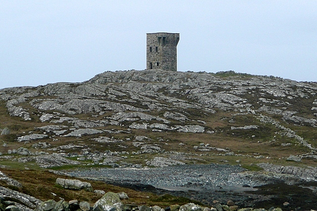 TowerSignal tower · 2.0 mi
 Cnoc FionnMountain / peak · 2.0 mi
 An Tóin DubhHeadland · 2.0 mi
 Cora na hAirde MóireHeadland · 2.7 mi
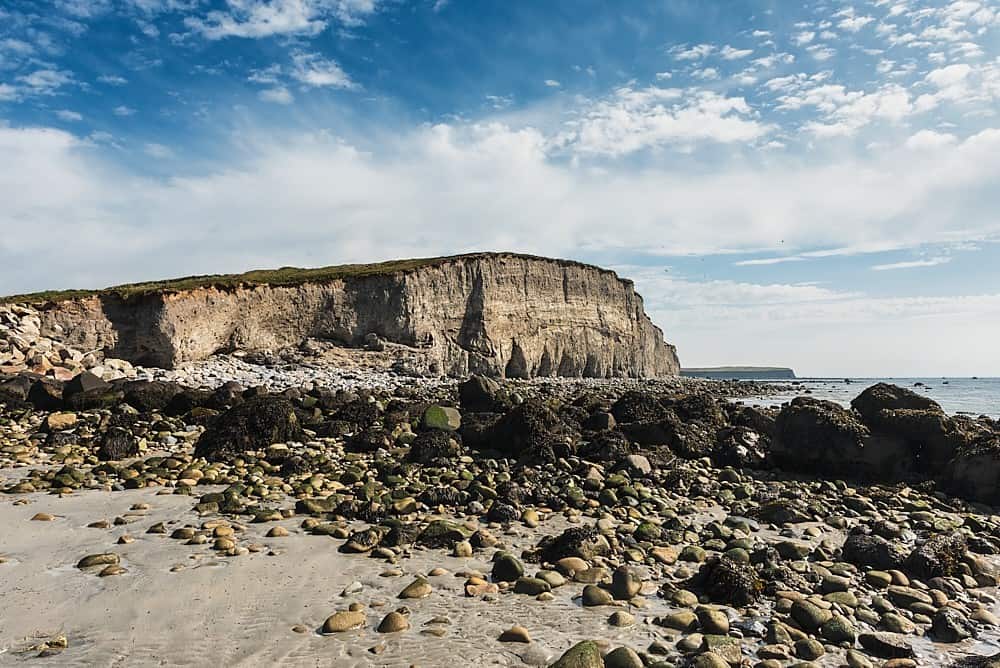 Trá na hAille MóireBeach / strand · 3.9 mi