What is recorded here
Tobar Cholmcille is a natural pothole on the foreshore at the north end of an island in County Galway, exposed below the high-water mark. The changing sea may have hidden or revealed it depending on the tide, inviting people to visit only when the water retreated far enough to show the hole. Such a place could have felt like a gift from the land, a temporary altar appearing and disappearing with the moon.
Below HWM on foreshore at N end of the island. Known locally as Tobar Cholmcille, it consists of a natural pothole (info. T. Robinson). Not visited.
The above description is derived from the published 'Archaeological Inventory of County Galway Vol. I - West Galway'. Compiled by Paul Gosling (Dublin: Stationery Office, 1993).
Date of upload: 05 August 2010
Linked to St. Columba (Colmcille), the well is associated with early Christian pilgrimage and healing traditions. Local folklore may connect it to the saint’s travels or spiritual influence in the region, though specific cures or rituals are not recorded.
The monument record does not grant public access. Check the route and ask the landowner before entering private land.
- What survives
- Recorded monument
Places near here
 FornaisIsland · 896 yd
 Oileán ChaisínIslet · 1039 yd
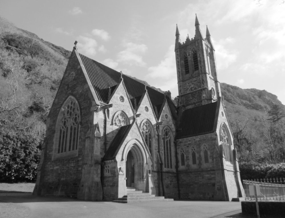 R. C. Chapel (in ruins)Chapel · 1.3 mi
 Séipéal Réalt na Mara [Catholic Church of the Star of the Sea]church/chapel · 1.5 mi
 Ionad Oidhreachta Leitir MealláinMuseum · 1.6 mi
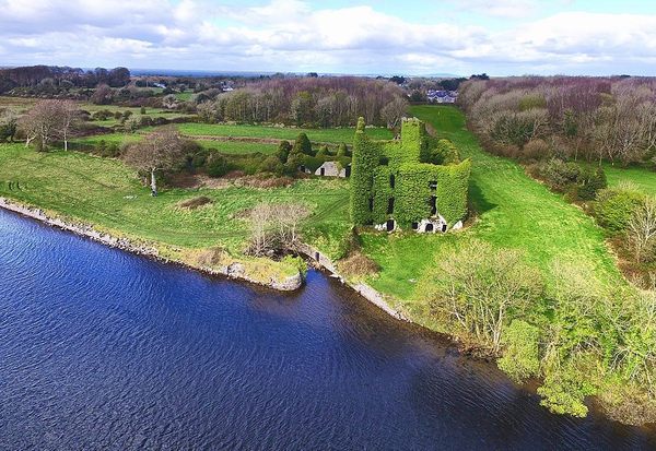 Castle (in ruins)Castle, unclassified · 1.8 mi
 Cnoc FionnMountain / peak · 2.1 mi
 Holy well in Birmore RockHoly well · 2.3 mi
 Cora na hAirde MóireHeadland · 2.3 mi
 Holy well in Leitir MealláinHoly well · 2.4 mi
 An Tóin DubhHeadland · 2.5 mi
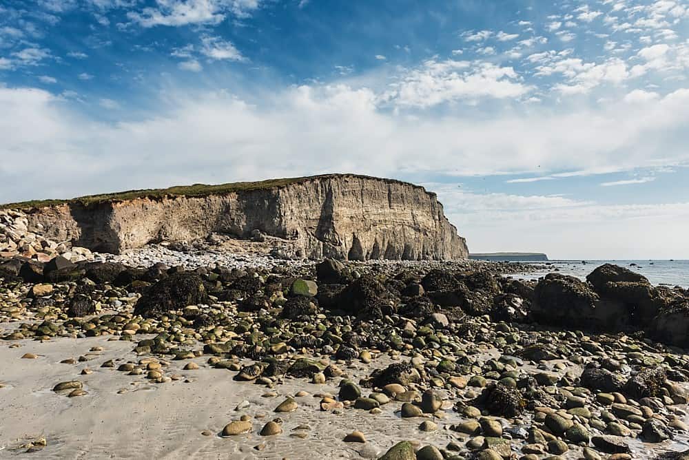 Trá na hAille MóireBeach / strand · 3.5 mi