What is recorded here
John O'Donovan identified St. Lawrence's well in the NE area of Faithlegg townland c. 1840 (O'Flanagan 1929, 3-4), and the name was known to Power (1906a, 29), but the well cannot be located now.
O'Flanagan, M. (Compiler) (1929) Letters containing information relative to the antiquities of the county of Waterford collected during the progress of the Ordnance Survey in 1841. Typescript. Bray.
Power, Rev. P. (1906a) The place-names of the Decies WAJ 9, 12-39, 80-106, 154-70, 228-65.
Compiled by: Michael Moore
Date of upload: 10 November 2010
Linked to St. Lawrence, the well was traditionally associated with healing and was known in historical records as a site of local veneration. It was likely used for ritual washing or drinking for ailments, though its exact location is now lost.
The monument record does not grant public access. Check the route and ask the landowner before entering private land.
- What survives
- Recorded monument
Places near here
 TobershonockHoly well · 456 yd
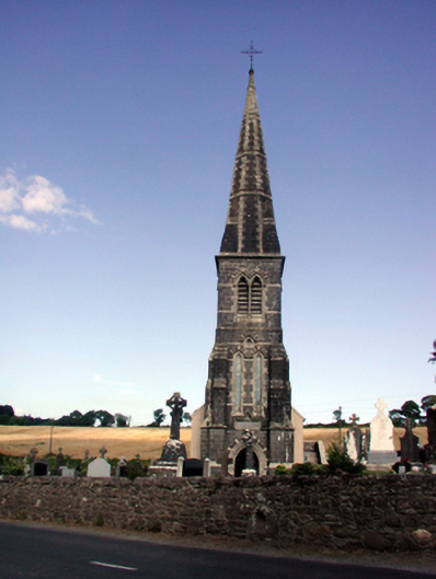 Saint Nicholas's Catholic Churchchurch/chapel · 530 yd
 Church (in Ruins)Church · 541 yd
 Grave YardGraveyard · 554 yd
 MoteCastle, motte · 766 yd
 Castle (in Ruins)Castle, tower house · 784 yd
 Minaun HillMountain / peak · 1161 yd
 The MinaunViewpoint · 1225 yd
 Cheek PointHeadland · 1.4 mi
 Catherine's BayBay · 1.7 mi
 Ballinakill WoodsWood · 2.2 mi
 Ivory MemorialMemorial · 2.7 mi