What is recorded here
On W shore of the island below HWM. It consists of a small natural round pothole near the outer end of a dyke of dark porphyry called Bóthar na Naomh, which is regarded as the road a saint took in walking to Oileán Mhic Dar (GA076-020001-) (info. T. Robinson). Not visited.
The above description is derived from the published 'Archaeological Inventory of County Galway Vol. I - West Galway'. Compiled by Paul Gosling (Dublin: Stationery Office, 1993).
Date of upload: 05 August 2010
Linked to an unidentified saint associated with Oileán Mhic, the well is connected to the pilgrimage route known as Bóthar na Naomh, a path traditionally believed to have been used by saints. The site reflects a broader Celtic Christian tradition of holy wells as places of spiritual and physical healing.
The monument record does not grant public access. Check the route and ask the landowner before entering private land.
- What survives
- Recorded monument
Places near here
 FornaisIsland · 1661 yd
 Oileán ChaisínIslet · 1.1 mi
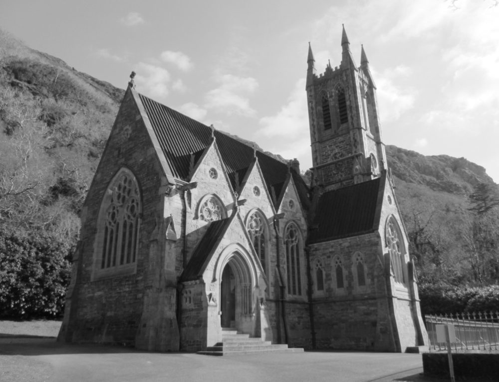 R. C. Chapel (in ruins)Chapel · 1.7 mi
 Holy well in Birmore RockHoly well · 1.8 mi
 Cora na hAirde MóireHeadland · 1.9 mi
 Séipéal Réalt na Mara [Catholic Church of the Star of the Sea]church/chapel · 1.9 mi
 Ionad Oidhreachta Leitir MealláinMuseum · 2.0 mi
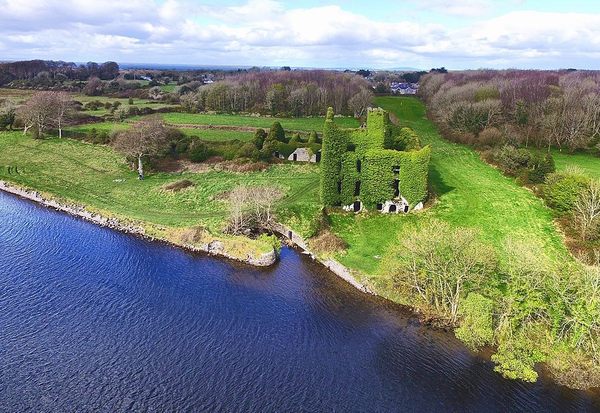 Castle (in ruins)Castle, unclassified · 2.3 mi
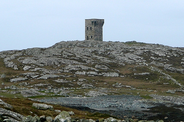 TowerSignal tower · 2.5 mi
 Cnoc FionnMountain / peak · 2.6 mi
 An Tóin DubhHeadland · 2.7 mi
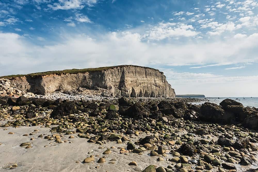 Trá na hAille MóireBeach / strand · 3.6 mi