What is recorded here
Holy well in Ballybraddin, County Antrim. Its water may have sustained thirst, faith or memory before roads and borders arrived. People may have visited it in rain, birth, grief or ordinary hunger, making the small ground familiar through repetition. The name still performs what the well did: it marks a place where life turned water into meaning.
The official Northern Ireland record identifies this as HOLY WELL. Recorded period: UNCERTAIN. The official map point was placed at the centre of the recorded archaeological site from the source map reference.
Linked to an unspecified local saint or spiritual tradition, the holy well at Ballybraddin was likely used for healing rituals, a common practice in early Christian and pre-Christian Irish sites. Little specific folklore or historical records are known, but such wells were often associated with water cures and seasonal festivals.
The monument record does not grant public access. Check the route and ask the landowner before entering private land.
- What survives
- Recorded monument
Places near here
 BOOLEY SITEBOOLEY SITE, ENCLOSURE & STRUCTURES: KILWEE or CILL-BHUIDE · 1.0 mi
 possible MOTTE SITE; MULTIPERIOD CASTLE SITE: LISANOURE CASTLE or LOUGH GUILE CASTLE or LOUGH KEOULLE in Castlequarterpossible MOTTE SITE; MULTIPERIOD CASTLE SITE: LISANOURE CASTLE or LOUGH GUILE CASTLE or LOUGH KEOULLE · 1.4 mi
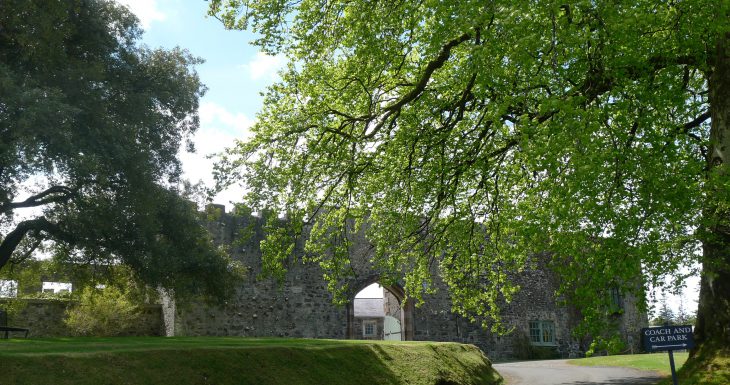 Lisanoure CastleCastle · 1.4 mi
 CROSS-CARVED STONE in Ballyknock BigCROSS-CARVED STONE · 1.8 mi
 SlievenahanaghanMountain / peak · 2.3 mi
 Slieveanorra ForestForest · 3.0 mi
 Ballylough Big HillMountain / peak · 3.5 mi
 Breen ForestForest · 5.3 mi
 Causeway Coast and Glens Heritage TrustVisitor information · 5.4 mi
 PRE-NORMAN CHURCH & ROUND TOWER; MEDIEVAL PARISH CHURCH; POST-MEDIEVAL CHURCH & GRAVEYARD: ARMOY CHURCH & ROUND TOWER in GlebePRE-NORMAN CHURCH & ROUND TOWER; MEDIEVAL PARISH CHURCH; POST-MEDIEVAL CHURCH & GRAVEYARD: ARMOY CHURCH & ROUND TOWER · 5.6 mi
 The Dark HedgesViewpoint · 6.5 mi
 Gracehill HouseHouse · 6.8 mi