What is recorded here
Holy wells have stood in Irish fields since before writing, touched by prayers and forgotten by empires. Annaboe keeps one such marker, a small point on a vast green canvas where water may still rise through soil memory. People walked past, dipped cups, or simply breathed near the hidden flow. The well does not need a date to be holy; it needs only to give refreshment and receive silence.
The official Northern Ireland record identifies this as HOLY WELL. Recorded period: UNCERTAIN. The official map point was placed at the centre of the recorded archaeological site from the source map reference.
Linked to Saint Boinin, the holy well in Annaboe is traditionally associated with healing and is visited for cures, particularly for skin ailments and general well-being. The site reflects a long-standing Christian and pre-Christian tradition of water worship in rural Irish and Ulster communities.
The monument record does not grant public access. Check the route and ask the landowner before entering private land.
- What survives
- Recorded monument
Places near here
 Kilmore SchoolSchool · 63 yd
 St. Aidan's ChurchChurch · 112 yd
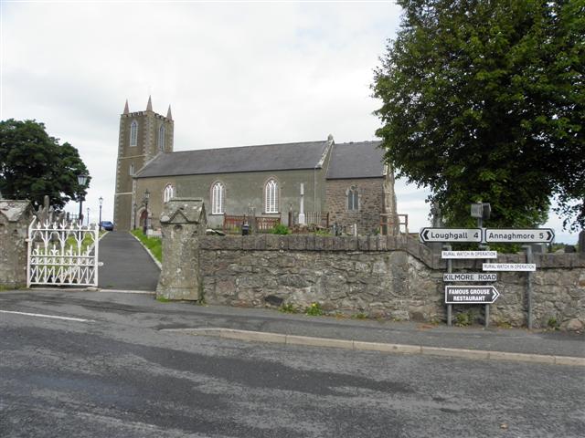 MULTIPERIOD CHURCH SITE & GRAVEYARD, Early Christian-Modern: ST. AIDAN'S, CELL MOR, CELL MOR UI NIALLAIN & MONYMcMORIERTY in KilmoreMULTIPERIOD CHURCH SITE & GRAVEYARD, Early Christian-Modern: ST. AIDAN'S, CELL MOR, CELL MOR UI NIALLAIN & MONYMcMORIERTY · 120 yd
 LARGE OVAL ENCLOSURE: CURRYS FORT in AnnaghughLARGE OVAL ENCLOSURE: CURRYS FORT · 1.3 mi
 Dan Winter's cottageHeritage attraction · 1.8 mi
 Richhill War MemorialMemorial · 2.0 mi
 Cannon HillViewpoint · 2.4 mi
 Loughgall Ambushterrorist attack · 2.6 mi
 PortadownVisitor information · 4.4 mi
 MEDIEVAL & POST-MED. CHURCH & GRAVEYARD: DRUMGOSE in DrumcreeMEDIEVAL & POST-MED. CHURCH & GRAVEYARD: DRUMGOSE · 4.5 mi
 Whitecoat PointHeadland · 4.9 mi
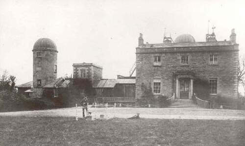 Armagh ObservatoryHistoric observatory · 5.3 mi