
What is recorded here
Currys Fort stands as a large oval enclosure in Annaghugh, County Armagh, preserving a shape that human hands once forced from the earth. Its uncertain age leaves the builders unnamed, but the scale suggests a community confident enough to claim the landscape and durable enough to be remembered long after their tools broke. The oval still holds its line against time, waiting for someone to walk its edge and imagine the lives that gave it form.
The official Northern Ireland record identifies this as LARGE OVAL ENCLOSURE: CURRYS FORT. Recorded period: UNCERTAIN. The official map point was placed at the centre of the recorded archaeological site from the source map reference.
The monument record does not grant public access. Check the route and ask the landowner before entering private land.
- What survives
- Recorded monument
Places near here
 Dan Winter's cottageHeritage attraction · 1716 yd
 ENCLOSURE? (unlocated) in FernagreevaghENCLOSURE? (unlocated) · 1757 yd
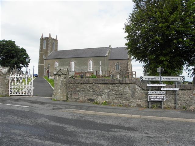 MULTIPERIOD CHURCH SITE & GRAVEYARD, Early Christian-Modern: ST. AIDAN'S, CELL MOR, CELL MOR UI NIALLAIN & MONYMcMORIERTY in KilmoreMULTIPERIOD CHURCH SITE & GRAVEYARD, Early Christian-Modern: ST. AIDAN'S, CELL MOR, CELL MOR UI NIALLAIN & MONYMcMORIERTY · 1.3 mi
 St. Aidan's ChurchChurch · 1.3 mi
 Kilmore SchoolSchool · 1.3 mi
 Loughgall Ambushterrorist attack · 1.9 mi
 Cannon HillViewpoint · 2.6 mi
 Richhill War MemorialMemorial · 3.1 mi
 MEDIEVAL & POST-MED. CHURCH & GRAVEYARD: DRUMGOSE in DrumcreeMEDIEVAL & POST-MED. CHURCH & GRAVEYARD: DRUMGOSE · 4.6 mi
 Lake Walk (Derryadd)Walking route · 4.8 mi
 PortadownVisitor information · 4.9 mi
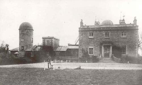 Armagh ObservatoryHistoric observatory · 5.5 mi
Other information
Photo: Credit not shown in the picture search · Rights wording not checked; contact us if this picture should be removed