What is recorded here
Holy Well sits in a shallow depression at the foot of a north-facing slope, its water rising through two pentagonal alcoves beneath a modern sandstone shelter. A cross carved into the exterior stone bears the words Blest Well, while local tradition claims the water once refused to boil potatoes, revealing its sacred character. Older residents still visit the marshy ground, where willow branches once trembled under tied rags and shoe laces, suggesting the well remains a living threshold between human need and unseen force.
In a shallow depression at the foot of a N-facing slope, in tree-covered marshy ground surrounded by pasture. Indicated and labelled ‘Holy Well’ on both the first (1842) and Cassini (1920) editions of the OS 6-inch map. This holy well is enclosed by a modern D-shaped well-house with an almost straight W side (L 1.8m), and a steeply pitched roof (H 1.86m) with a flat top (Wth 0.53m). The structure is built of rough unworked flat sandstone slabs bonded with mortar (wall Wth 0.36m at N and S). In the W face of the structure are two low rectangular openings (H 0.41-0.45m; Wth 0.4-0.48m), their bases just above ground level and with a lintel over each (N lintel L 0.74m; T 0.1m; S lintel L 0.56m; T 0.1m). Each opening leads into a pentagonal alcove-like compartment (D 0.56-0.67m) containing two basins. The alcoves are lined by thin flagstones and separated from each other by a narrow stone wall (Wth 0.25m) which is open at the base where the well water is found. Kirby (2021) suggested that one basin may be for cures (eyes ailments and headaches), and the other for drinking water. Placed centrally in the external wall-face over the openings is a D-shaped stone (H 0.33m) with a flat base (L 0.3m). There is a cross (H 0.18m; Wth 0.11m) in the centre of this stone’s face, lined on either side by the engraved words ‘BLEST WELL’ set at a 45° angle on either side of the cross. Outside the structure’s W side is an elongated slab (L 1.5m; Wth 0.65m), and outside the S side are three flat slabs. The well is surrounded by small beech and willow trees, as well as a holly tree at the back (i.e., to the E). During an inspection in 1999 one old willow just to the N of the well had rags, strips of plastic, feathers and shoe laces hanging from its branches. According to Kirby (2021), two entries in the National Folklore Collection relate to this well: one recounts the story of a saint blessing the water here; the other entry mentions how the water was once used to cook potatoes, but when it would not boil the water was recognised as holy. According to a local woman spoken to in 1999, the holy well was referred to by some people as Hoarty’s Well (in reference to the previous landowner - see also Kirby, 2021) and was still visited by older people of the area. This informant stated that the stone superstructure was built over the well compartments as part of a local FÁS scheme in the mid-1990s. According to another account, it was constructed by a local mason from Flagmount (ibid.). The area of the well was fenced in in the late 1990s.
Compiled by: Gearóid Conroy and Conn Herriott
Date of upload: 2-10-2025
Linked to Saint Gobnait, the well is traditionally associated with cures for eye ailments and was a site of pilgrimage, particularly in early spring. The well’s long-standing recognition on historical maps suggests a continuity of veneration from pre-Christian to Christian traditions in the region.
The monument record does not grant public access. Check the route and ask the landowner before entering private land.
- What survives
- Recorded monument
Places near here
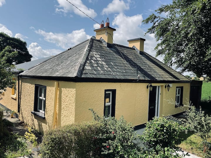 IndicatedFairy fort / earthen ringfort · 1109 yd
 Derreendoagh Children's Burial GroundArchaeological place · 1686 yd
 Bleach Bridgebridge · 1.8 mi
 Hawkins WoodWood · 2.4 mi
 KnocknarebanaMountain / peak · 3.0 mi
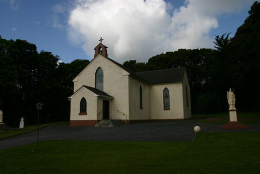 Saint Patrick's Catholic Churchchurch/chapel · 3.7 mi
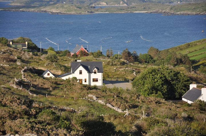 KnocknamonaMountain / peak · 4.0 mi
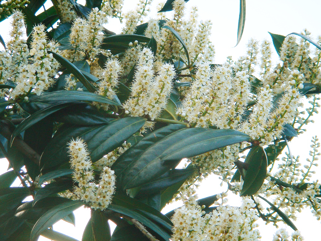 Cherry laurelCherry laurel · 4.1 mi
 Holly IslandIslet · 4.2 mi
 Castle (in ruins)Castle, tower house · 4.4 mi
 Castle IslandIsland · 4.7 mi
 Castle in ruinsCastle, tower house · 4.7 mi