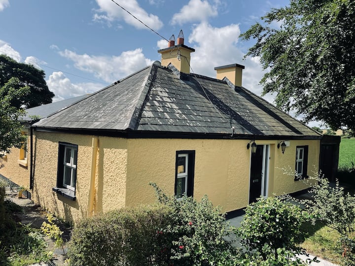
What is recorded here
At the top of a SE-facing slope in pasture, overlooking lower ground to NW-NNE and SE-SSW. Partially indicated on the OS 25-inch plan (1897) and Cassini edition (1920) of the OS 6-inch map. This overgrown but mostly well-preserved subcircular bivallate rath (int. diams. 21.2m NE-SW; 17.17m NW-SE; ext. diams. 31.9m NE-SW; 27.3m NW-SE) is defined by an inner bank and outer bank with an intervening fosse, all quite overgrown, but best preserved from SW-NW-NNE. The inner bank (Wth at base 1.4-3m; int. H 0.1-0.4m; ext. H 0.3-1.15m) does not survive for 4.5m at the S, and there are only slight traces of it from E-SSE, and the outer face is eroded W-WNW. The flat-bottomed fosse (Wth at base 1.1-2.1m) is deepest at NW but nearly silted up at S. The outer bank (Wth at base 1.1-1.8m; Wth at top 0.6-0.9m; int. H 0.2-0.6m; ext. H 0.2-0.65m) has external facing stones at NW. The SE sector has been slightly truncated by a farm track and is overlain by a later field wall and some field clearance material. There are gaps in both banks at E and WSW which have been widened by livestock and it is unclear if they are original features. However, the gap at WSW (Wth 2.8m in outer bank, 1m in inner bank) may be an original entrance as the outer bank here is relatively low and slopes gently into a shallower part of the fosse, and the terminals of the outer and inner bank on S side are in line with each other. The gently SE-sloping interior is partly overgrown with trees, and there is a small area of rock outcrop in the SE sector.
Compiled by: Gearóid Conroy and Conn Herriott
Date of upload: 2-10-2025
A local fairy fort (ringfort/rath); wider significance not recorded.
The monument record does not grant public access. Check the route and ask the landowner before entering private land.
- What survives
- Recorded monument
Places near here
 Derreendoagh Children's Burial GroundArchaeological place · 1446 yd
 Hawkins WoodWood · 1.8 mi
 Bleach Bridgebridge · 2.0 mi
 Partially indicatedFairy fort / stone ringfort · 2.6 mi
 Church (in Ruins)Church · 3.2 mi
 KnocknarebanaMountain / peak · 3.6 mi
 Holly IslandIslet · 3.8 mi
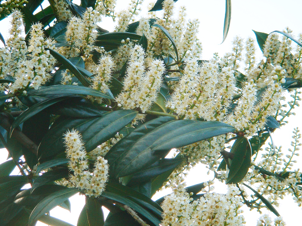 Cherry laurelCherry laurel · 3.9 mi
 Castle (in ruins)Castle, tower house · 4.0 mi
 MagheraMountain / peak · 4.0 mi
 Castle IslandIsland · 4.3 mi
 Castle in ruinsCastle, tower house · 4.3 mi
Other information
Photo: Credit not shown in the picture search · Rights wording not checked; contact us if this picture should be removed