What is recorded here
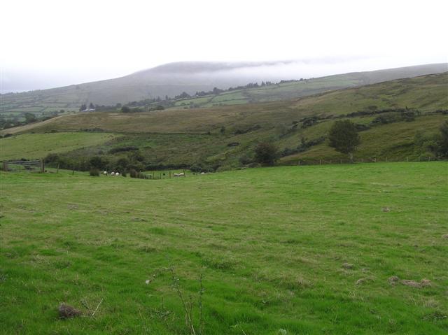
Frail priests may have knelt at that hidden water before the monasteries fell, drawing clarity from the earth while kings and armies forgot the valley. The well remains unnamed on modern maps, yet memory keeps returning it to life. It is the kind of place people stop searching for because it stops answering, not because it stopped existing.
The official Northern Ireland record identifies this as HOLY WELL: FRIAR'S WELL(O.S. memoir site, unlocated). Recorded period: UNCERTAIN. The official map point was placed at the centre of the recorded archaeological site from the source map reference.
Linked to a tradition involving a friar, possibly from a medieval religious order, the well may have been associated with healing or pilgrimage practices. Though unlocated and with uncertain origins, such wells often feature in local folklore as sites of spiritual or curative significance.
The monument record does not grant public access. Check the route and ask the landowner before entering private land.
- What survives
- Recorded monument
Places near here
 Soup KitchenSoup Kitchen · 1459 yd
_-_geograph.org.uk_-_2309406.jpg?width=1280) Corn StoreStore · 1490 yd
Corn StoreStore · 1490 yd HISTORIC SETTLEMENT: DRAPERSTOWN or CROSS in DraperstownHISTORIC SETTLEMENT: DRAPERSTOWN or CROSS · 1543 yd
 ENCLOSURE in CloaneENCLOSURE · 1.3 mi
 Moydamlaght ForestForest · 3.1 mi
 Craig-na-ShokeCliff · 3.3 mi
 MullaghmoreMountain / peak · 3.9 mi
 Craigagh HillMountain / peak · 4.3 mi
 Craigadick Picnic AreaPicnic place · 4.7 mi
 Altkeeran WaterfallWaterfall · 5.6 mi
 Lough FeaWalking route · 5.7 mi
 Drumnaph ForestWood · 6.5 mi