
What is recorded here
The official Northern Ireland record identifies this as HOLY WELL: FRIAR'S WELL. Recorded period: UNCERTAIN. The official map point was placed at the centre of the recorded archaeological site from the source map reference.
Linked to a tradition involving a friar, possibly a Franciscan or Augustinian, Friar's Well is associated with healing rituals and was historically visited for its supposed curative properties, particularly for ailments of the eyes and skin. The well's name and usage suggest a medieval Christian devotion, though specific saintly connections have not been recorded.
The monument record does not grant public access. Check the route and ask the landowner before entering private land.
- What survives
- Recorded monument
Places near here
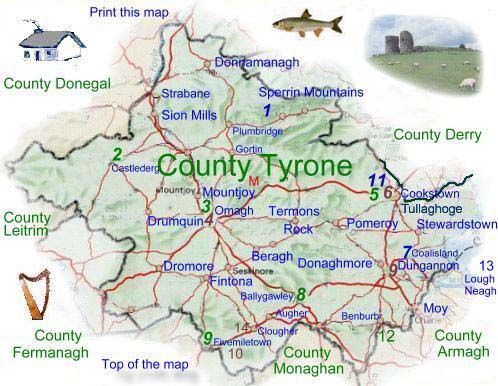
 Historic Settlement Tullyhogue in TullaghogeHistoric Settlement Tullyhogue · 1.3 mi
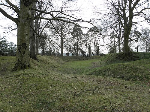
 RathArchaeological place · 1.5 mi
 GRAVEYARD in DonaghriskGRAVEYARD · 1.5 mi
 First Presbyterian ChurchChurch · 1.6 mi
 CrannogIslet · 1.7 mi
 Orange HallHouse · 1.7 mi
 FORTIFIED HOUSE in LoughryFORTIFIED HOUSE · 2.0 mi
 Giant's GraveArchaeological place · 2.3 mi
 Drummond WoodWood · 2.5 mi
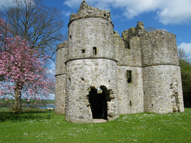 CASTLE: ROUGHAN CASTLE in RoughanCASTLE: ROUGHAN CASTLE · 2.5 mi
 Drumcairne ForestWood · 2.8 mi
 Clonoe ambushterrorist attack · 3.3 mi
Other information
Photo: Credit not shown in the picture search · Rights wording not checked; contact us if this picture should be removed