What is recorded here
The Holy Stone: Now lying on the road side at the top of Main Street in Dingle Town. This is a large, irregularly-shaped boulder, measuring 3.48m long x from .87 to .75m wide, with 7 large circular or oval cup-marks or basin-like depressions on its upper surface. The 2 smallest depressions are .08 to .12m in diameter and about .02 to .03m deep. The remainder range from .16 to .28m in diameter and from .5 to .13m deep. A channel runs to the edge of the stone from two of the depressions.
One of the traditions surrounding the stone connects it with the catholic church which stood in nearby Chapel Lane from 1702 to 1812; the depressions were used for holding holy water (McKenna 1979, 2-3). Rounds were also reputedly made at the stone (OSNB Dingle, book 2, 23). Another tradition is that it once formed part of the complex of standing stones and rock art at Milltown (KE043-213----) (Macalister 1898b, 164).
To see a 3D model of this monument, visit; https://skfb.ly/6UQWB
The above description is derived from J. Cuppage, ‘Corca Dhuibhne. Dingle Peninsula archaeological survey. Ballyferriter. Oidhreacht Chorca Dhuibhne’ (1986), no. 966. In certain instances the entries have been revised and updated in the light of recent research.
Date of upload: 7 August 2013
Likely dating to the Neolithic or Bronze Age, the Holy Stone (An Gróbh) is a standing stone with seven cup-marks, possibly associated with ritual or ceremonial use. Local tradition may link it to early Christian or pagan burial or healing practices.
The monument record does not grant public access. Check the route and ask the landowner before entering private land.
- What survives
- Recorded monument
Places near here
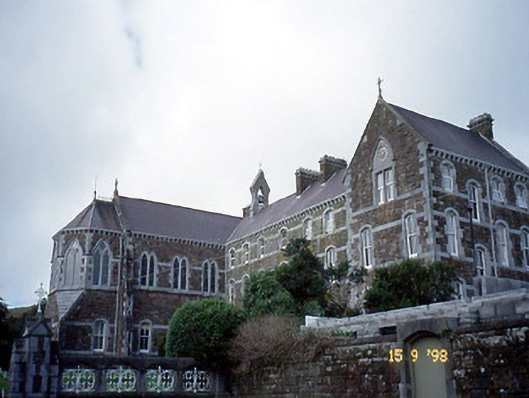 Presentation Conventconvent/nunnery · 148 yd
 Eaglais Naomh Muire [Saint Mary's Catholic Church]church/chapel · 185 yd
 Castle (Site of)Castle, tower house · 213 yd
 Caol Cronin - SeascapesGallery · 223 yd
 Font in An GróbhFont · 361 yd
 St Johns WellHoly well · 473 yd
 Charles HaugheyMemorial · 575 yd
 Dingle Marina Dive CentreHeritage attraction · 746 yd
 Memorial to all who lost their lives in our seas.Memorial · 878 yd
 An ChorrMountain / peak · 1.6 mi
 Ballintaggart Ogham StonesVisitor information · 1.6 mi
 10Cliff · 1.7 mi