What is recorded here
This slate slab stands 5.5m NE of the ogham stone (KE078-009003-). It measures .4m high and its upper E angle is perforated.
The above description is derived from O'Sullivan, A. and Sheehan, J. (compilers) 'The Iveragh peninsula: an archaeological survey of South Kerry'. Cork University press. (1996), no. 940. In certain instances the entries have been revised and updated in the light of recent research.
Date of upload: 11 June 2013
The monument record does not grant public access. Check the route and ask the landowner before entering private land.
- What survives
- Recorded monument
Places near here
 Shrine in Cool EastShrine · 23 yd
 ValentiaIsland · 406 yd
 Church in Feaghmaan WestChurch · 1181 yd
 Hut site in Cool EastHut site · 1495 yd
 Fogher CliffCliff · 1549 yd
 GeokaunMountain / peak · 1692 yd
 The GrottoCave · 1.2 mi
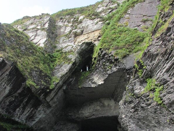 Slate QuarryQuarry · 1.2 mi
 Culloo RockViewpoint · 1.4 mi
 Skellig Experience CentreMuseum · 1.5 mi
 Telegraph Field Valentia IslandMemorial · 1.8 mi
 Chilean myrtleChilean myrtle · 1.9 mi