What is recorded here
Kilquane Graveyard holds a small holed stone built into tomb number 48, overlooking the Atlantic beneath Mt. Brandon. People may have placed it there to mark a life, direct a memory or complete a burial ritual, yet its exact purpose has faded. The hole still catches rain and light, keeping the dead connected to the changing sky.
In 2011 a graveyard survey carried out by Ann Frykler and Robert Hanbidge of Headland Archaeology Ltd. recorded the following details about a holed stone identified as Miscellaneous 03: ‘Kilquane Graveyard is located within the townland of Kilquane (ED Kilquane), Co. Kerry, situated approximately 8.7 km northwest of Dingle and approximately 2.3 km southeast of the village of Feohanagh, on the Dingle Peninsula. It is overlooked to the east by Mt. Brandon, the highest peak on the Dingle Peninsula. The graveyard is located on a very slight westerly sloping area within pastureland and enjoys extensive views over the surrounding countryside to the west which breaks onto the Atlantic Ocean. Small portable sub‐square piece of stone with hole carved in centre, currently forming part of the fabric of the tomb at Grave No. 48' (Hanbidge 2011, 11).
See attached graveyard plan showing location of Miscellaneous No. 03, courtesy of Robert Hanbidge
Compiled by: Caimin O'Brien
Date of upload: 7 July 2022
The monument record does not grant public access. Check the route and ask the landowner before entering private land.
- What survives
- Recorded monument
Places near here
 Cross in Cill ChuáinCross · 1 yd
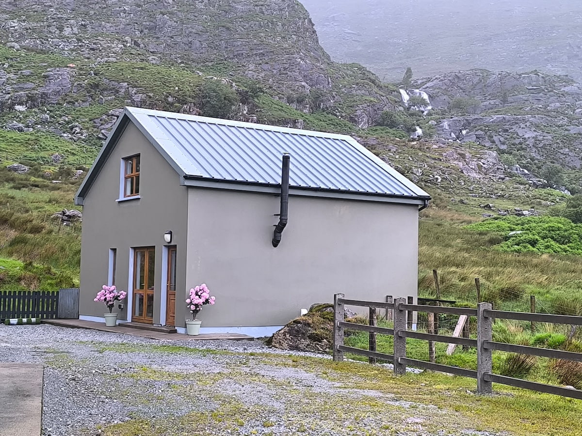 Hut site in An Baile BreacHut site · 484 yd
 Saints RoadRoad, road/trackway · 1484 yd
 Moorestown CastleCastle · 1.0 mi
 Church in Cill ChúileChurch · 1.3 mi
 Brandon CreekViewpoint · 1.9 mi
 Tower (in ruins)Castle, unclassified · 2.1 mi
 Ceann Bhaile DháithMountain / peak · 2.3 mi
 Cúinne an MhionnáinHeadland · 2.5 mi
 Gallarus OratoryHeritage attraction · 2.9 mi
 Cuan Ard na CaithneBay · 3.0 mi
 Cnoc BréanainnMountain / peak · 3.2 mi