What is recorded here
In a wall bounding a narrow road which forms the townland boundary between Brickeen and Bellanagarrigeeny or Castlebaldwin. A limestone slab (H 0.7m; Wth 0.55) set upright in the stone wall. A circular perforation (diam. 0.15m) centrally placed c. 0.55m below the top of the stone, extends obliquely (D c. 0.35m) through the thickness of the stone. This stone was described by Prof. R. A. S. Macalister (d. 1950) in an undated report (SMR (1989) file). The perforation appears to be a natural phenomenon.
Compiled by: Archaeological Survey Unit, UCC with revisions by Patrick F. O'Donovan and Paul Walsh
Date of upload: 20 June 2011
The monument record does not grant public access. Check the route and ask the landowner before entering private land.
- What survives
- Recorded monument
Places near here
 Fulacht fia in Bellanagarrigeeny OR CastlebaldwinFulacht fia · 208 yd
 Castle BaldwinCastle · 242 yd
 Castlebaldwincastle/fortified house · 243 yd
 Enclosure in AnnaghcorEnclosure · 427 yd
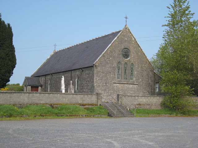 Saint Patrick's Catholic Churchchurch/chapel · 1231 yd
 Annaghgowla IslandIslet · 1.1 mi
 Bricklieve Castle (in Ruins)Castle, unclassified · 1.5 mi
 InishmoreIslet · 1.7 mi
 Bricklieve MountainsMountain / peak · 1.8 mi
 Treanscrabbagh caveCave · 2.0 mi
 Carricknahorna EastMountain / peak · 2.4 mi
 School CaveCave · 2.8 mi