What is recorded here
In damp, pasture, in the SW corner of a field, at the junction of two field drains, and close to the junction of four townlands. Indicated on the 1940 OS 6-inch map as ‘Holed Stone’. Upright slab (max. H 2.15m; Wth 2.65m; T 0.2m), with long axis E-W. The narrow W side of the stone is vertical, grading into the gently arching top, but the E side is broken by a marked step or indentation. There is a perforation (0.86m E-W), off-centre to the E, through the broad face of the stone. According to local tradition, a sick person who passed through the perforation would be cured.
Compiled by: Jane O'Shaughnessy
Date of upload: 20 July 2015
Likely dating to the Neolithic or Bronze Age, the holed stone may have had ritual or ceremonial significance, possibly used as a marker, calendar alignment, or in fertility rites. Such stones are sometimes associated with local folklore, including beliefs related to fairies or healing.
The monument record does not grant public access. Check the route and ask the landowner before entering private land.
- What survives
- Recorded monument
Places near here
 TobernaveenHoly well · 214 yd
 Enclosure in BallydooganEnclosure · 439 yd
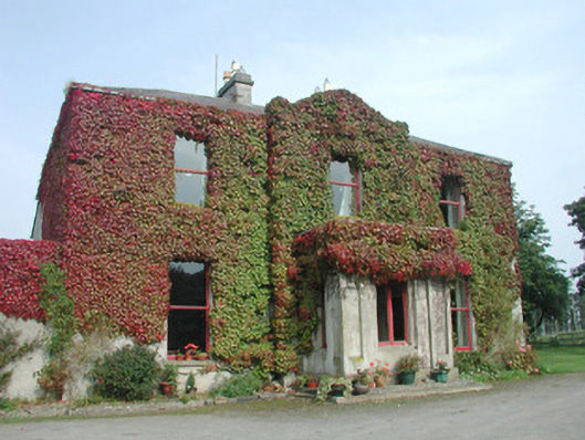 Woodville Househouse · 671 yd
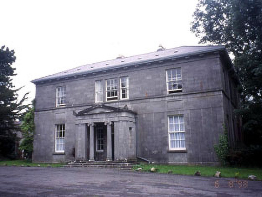 Kevinsfort Househouse · 1270 yd
 Carrowmore Megalithic CemeteryHeritage attraction · 1416 yd
 Carrowmore Visitors CentreVisitor information · 1563 yd
 St. John's CathedralMemorial · 1.6 mi
 Famine MemorialMonument · 1.7 mi
 Discover IrelandVisitor information · 1.7 mi
 CastleCastle, Anglo-Norman masonry castle · 1.7 mi
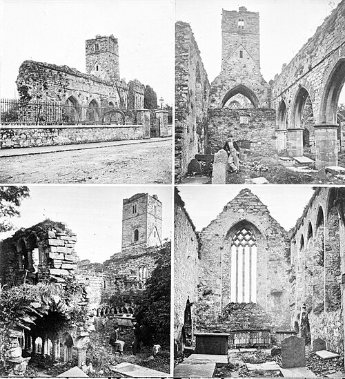 Sligo AbbeyMuseum · 1.8 mi
 European BeechEuropean Beech · 2.5 mi